Explore the Rivers in Nigeria Map: A Guide to Nigeria's Waterways
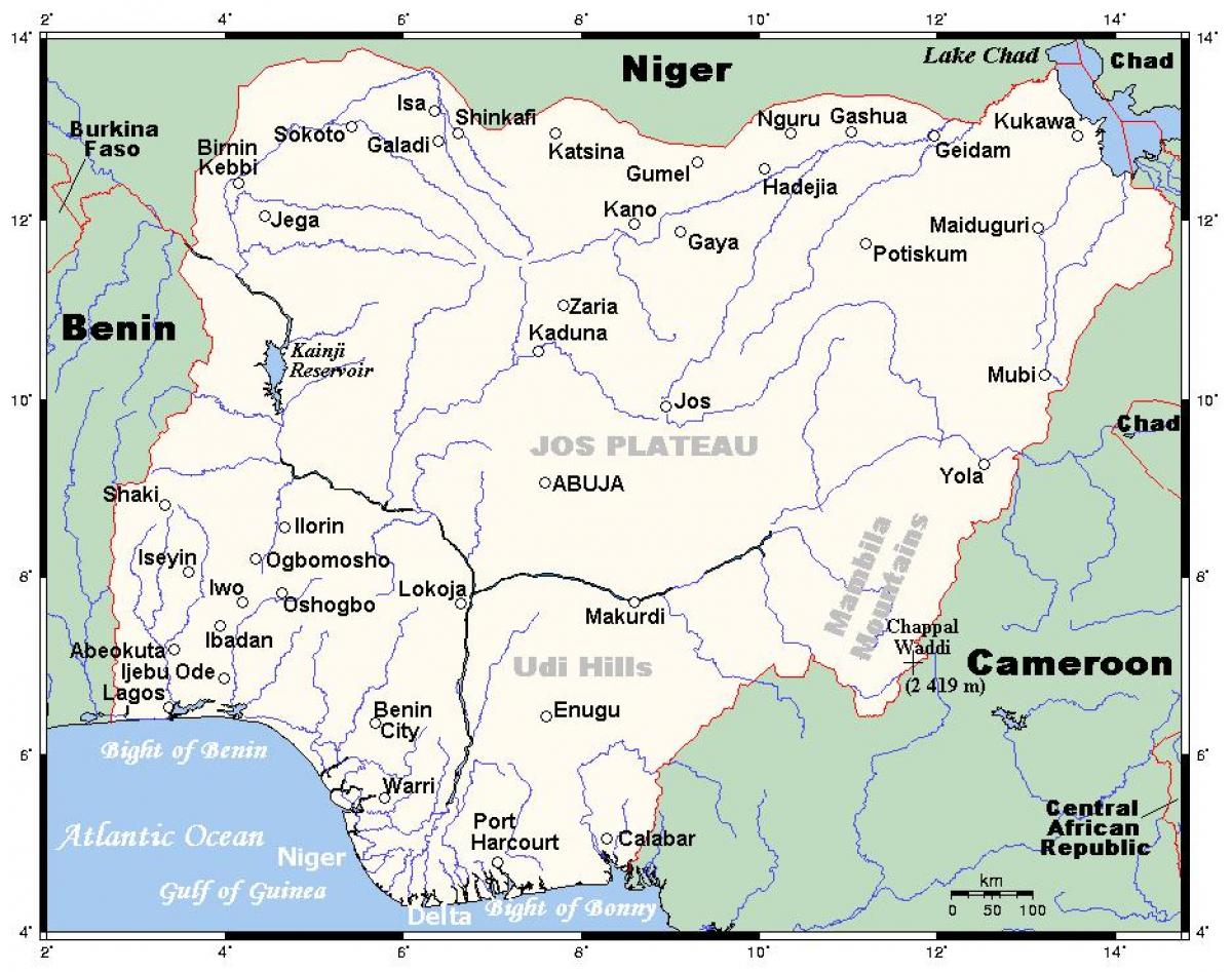
Nigeria is blessed with numerous rivers that play a crucial role in its ecosystem, economy, and culture. The Rivers in Nigeria map provides a detailed visual representation of these vital waterways, highlighting their locations, lengths, and tributaries. This map serves not only as a geographical tool but also as a resource for understanding the intricate relationships between the rivers and the communities that depend on them. Rivers such as the Niger and Benue are the most significant, forming a confluence that supports the livelihood of millions of Nigerians.
Understanding the Rivers in Nigeria is important for several reasons. Firstly, these rivers are essential for agriculture, serving as sources of irrigation in a country where farming is a primary occupation. The Niger River, for instance, is the longest river in Nigeria, stretching over 4,180 kilometers. It flows through several states, providing water for crops, livestock, and fishing. The map showcases not only the major rivers but also smaller tributaries that contribute to the country’s agricultural output. This geographic knowledge is vital for planning and development initiatives.
Historically, rivers have been significant to Nigeria's development. Many ancient civilizations thrived along these waterways, and they have served as trade routes for centuries. The Rivers in Nigeria map illustrates historical trade routes that connected various ethnic groups and facilitated commerce. For example, the Niger River was a central route for the trans-Saharan trade, impacting the economic landscape of the region. The historical context provided by the map highlights how these waterways have shaped the socio-economic dynamics of Nigeria over time.
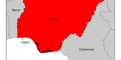
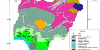
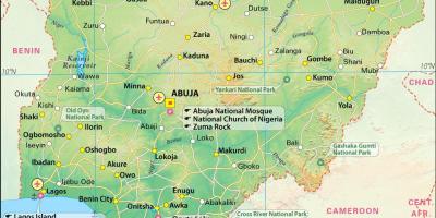
Geographically, the Rivers in Nigeria map reflects the diverse landscapes of the nation. From the lush rainforests in the south to the arid regions in the north, the rivers traverse different ecosystems. This geographic diversity supports a wide range of flora and fauna, making Nigeria one of the most biodiverse countries in Africa. The map also indicates the locations of major cities that have developed along these rivers, such as Lagos and Port Harcourt, which serve as economic hubs due to their proximity to navigable waters.
Practically, the Rivers in Nigeria map is an invaluable resource for various stakeholders. Researchers, students, and policymakers can use this map for studies related to hydrology, environmental science, and urban planning. It can also guide tourism initiatives, encouraging visitors to explore the natural beauty and cultural heritage associated with Nigeria’s rivers. For instance, river cruises along the Niger River offer unique perspectives on the landscape and local communities.
In summary, the Rivers in Nigeria map is more than just a geographical representation; it encapsulates the essence of Nigeria’s natural resources, history, and cultural significance. By understanding the importance of these waterways, we can appreciate their role in shaping the nation’s identity and future. Exploring this map is a step towards a deeper understanding of Nigeria’s geography and its impact on society.
The Rivers in Nigeria map is an essential tool for understanding the country's rich waterways and their significance. Dive deeper into Nigeria's geography to uncover the fascinating stories these rivers tell.
-
The Niger River, the longest river in Nigeria, flows through approximately 1,600 kilometers of the country, providing water to countless communities.
-
The Benue River is the second largest river in Nigeria and meets the Niger River at Lokoja, forming a critical confluence.
-
Nigeria has over 200 rivers, many of which are crucial for fishing, agriculture, and transportation.
-
The river systems in Nigeria are integral to the nation’s fishing industry, which is a significant source of protein for many Nigerians.
-
The Niger Delta, where the Niger River meets the Atlantic Ocean, is one of the most biodiverse regions in the world, home to various species of fish and wildlife.
-
Rivers in Nigeria have been historically significant, serving as trade routes and natural borders for various ethnic groups throughout history.
-
The Cross River, another major river, is known for its rich biodiversity and is home to the rare Cross River gorilla.
-
The Sokoto River, a tributary of the Niger River, plays a vital role in the irrigation of agricultural lands in the northern regions of Nigeria.
-
River transport remains essential in Nigeria, especially in regions where road infrastructure is poor, facilitating the movement of goods and people.
-
The Niger River Basin is one of the largest river basins in the world, impacting the climate and agriculture of several West African countries.