Explore the Latitude and Longitude Map of Nigeria: A Geographic Insight
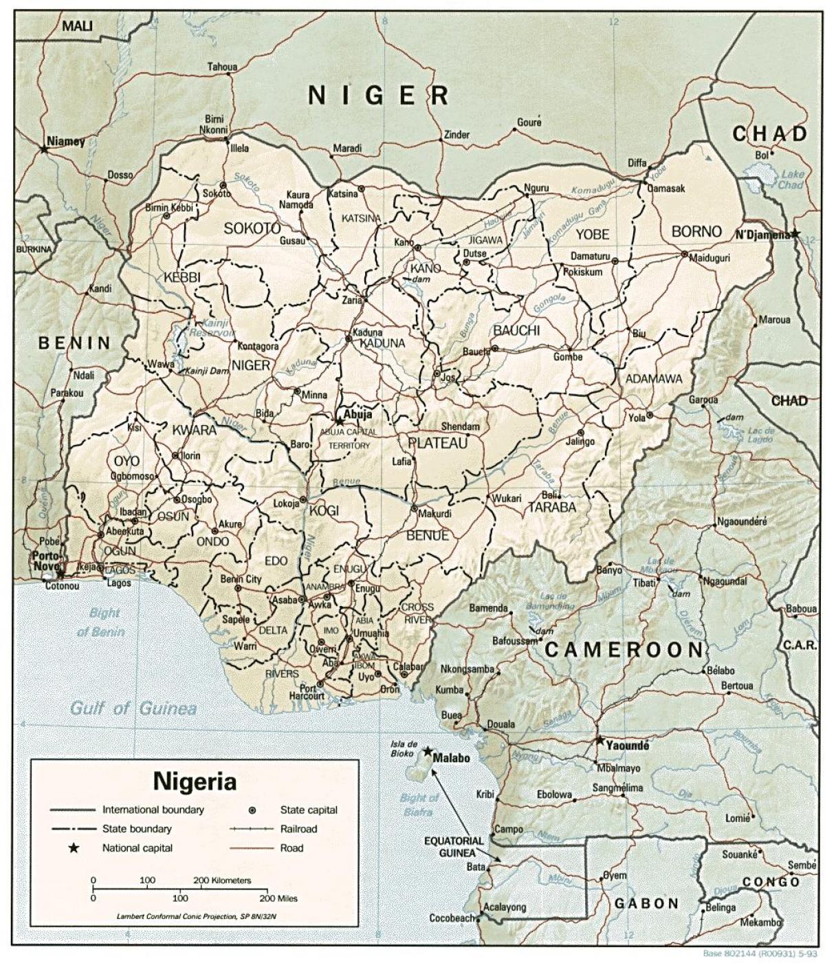
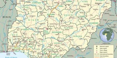
The map of latitude and longitude in Nigeria serves as an essential tool for understanding the country's geographic coordinates. Nigeria, located in West Africa, is positioned between latitudes 4°N and 14°N, and longitudes 3°E and 15°E. This geographic framework is crucial as it not only helps in navigation but also plays a vital role in various sectors such as agriculture, urban planning, and disaster management. By providing precise coordinates, the map aids in identifying specific locations, which is especially important in a nation as diverse and expansive as Nigeria.
Understanding the latitude and longitude of Nigeria is significant for several reasons. Firstly, Nigeria's diverse climate zones, ranging from the arid north to the tropical south, are influenced by its geographic coordinates. This diversity impacts agricultural practices, wildlife habitats, and even human settlement patterns. Additionally, knowing the exact coordinates helps in environmental monitoring and conservation efforts, making it easier to track changes in ecosystems and wildlife migration patterns.
Historically, the mapping of Nigeria's coordinates has been critical for navigation and trade. During the colonial period, accurate maps were necessary for resource exploitation and administrative control. Post-independence, these maps have continued to serve as essential tools for national development. They assist in infrastructure development, such as road networks and urban expansion, ensuring that resources are allocated efficiently based on geographic needs.
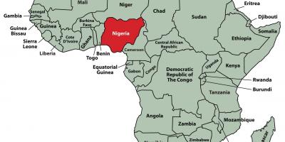
The geographic significance of Nigeria cannot be overstated. With its rich cultural heritage and vast natural resources, understanding its geographical layout through latitude and longitude maps helps in various academic fields, including geography, sociology, and environmental science. Moreover, the unique positioning of Nigeria makes it a focal point for regional trade and cultural exchange, further emphasizing the importance of geographic knowledge.
Practically, the latitude and longitude map of Nigeria is indispensable for modern navigation systems, including GPS technologies. These systems rely on precise coordinates to provide accurate directions, making them vital for transportation and logistics. Additionally, businesses use these maps for market analysis, site selection, and strategic planning, ensuring that they can effectively reach their target demographics.
In conclusion, the latitude and longitude map of Nigeria is not just a geographical representation; it is a vital resource that influences various aspects of life in the country. From aiding navigation to supporting economic development and environmental conservation, understanding Nigeria's coordinates is essential for anyone interested in its geography and culture.
The latitude and longitude map of Nigeria offers valuable insights into the country's geography and its diverse features. We encourage you to explore more about Nigeria's rich landscapes and cultures to deepen your understanding of this remarkable nation.
-
Nigeria is the most populous country in Africa, with over 200 million inhabitants, making its geographical positioning even more significant.
-
The country has over 250 ethnic groups, each with unique cultures and traditions, spread across different latitudes and longitudes.
-
Nigeria's geographical diversity includes deserts in the north, rainforests in the south, and savannahs in between, influencing its agricultural outputs.
-
The Niger River, one of the longest rivers in Africa, plays a crucial role in the country's economy and is located at approximately 10.5°N latitude.
-
Nigeria's coastline along the Atlantic Ocean stretches for about 850 kilometers, impacting its fishing industry and trade.
-
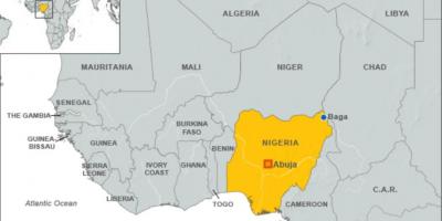
The capital city, Abuja, is located at a latitude of approximately 9.0578°N and a longitude of 7.4951°E, strategically positioned in the center of the country.
-
Nigeria has 36 states and one Federal Capital Territory, each with varying geographic coordinates, affecting local governance and resource distribution.
-
The country experiences a tropical climate, influenced by its latitude, leading to distinct wet and dry seasons across different regions.
-
Lake Chad, located in the northeastern part of Nigeria, has significantly shrunk over the decades due to climate change, affecting local communities.
-
Nigeria is rich in natural resources, such as oil, which is primarily found in the Niger Delta region, highlighting the importance of geographic knowledge in resource management.