Explore the Map of Rivers State, Nigeria: Geography and Insights
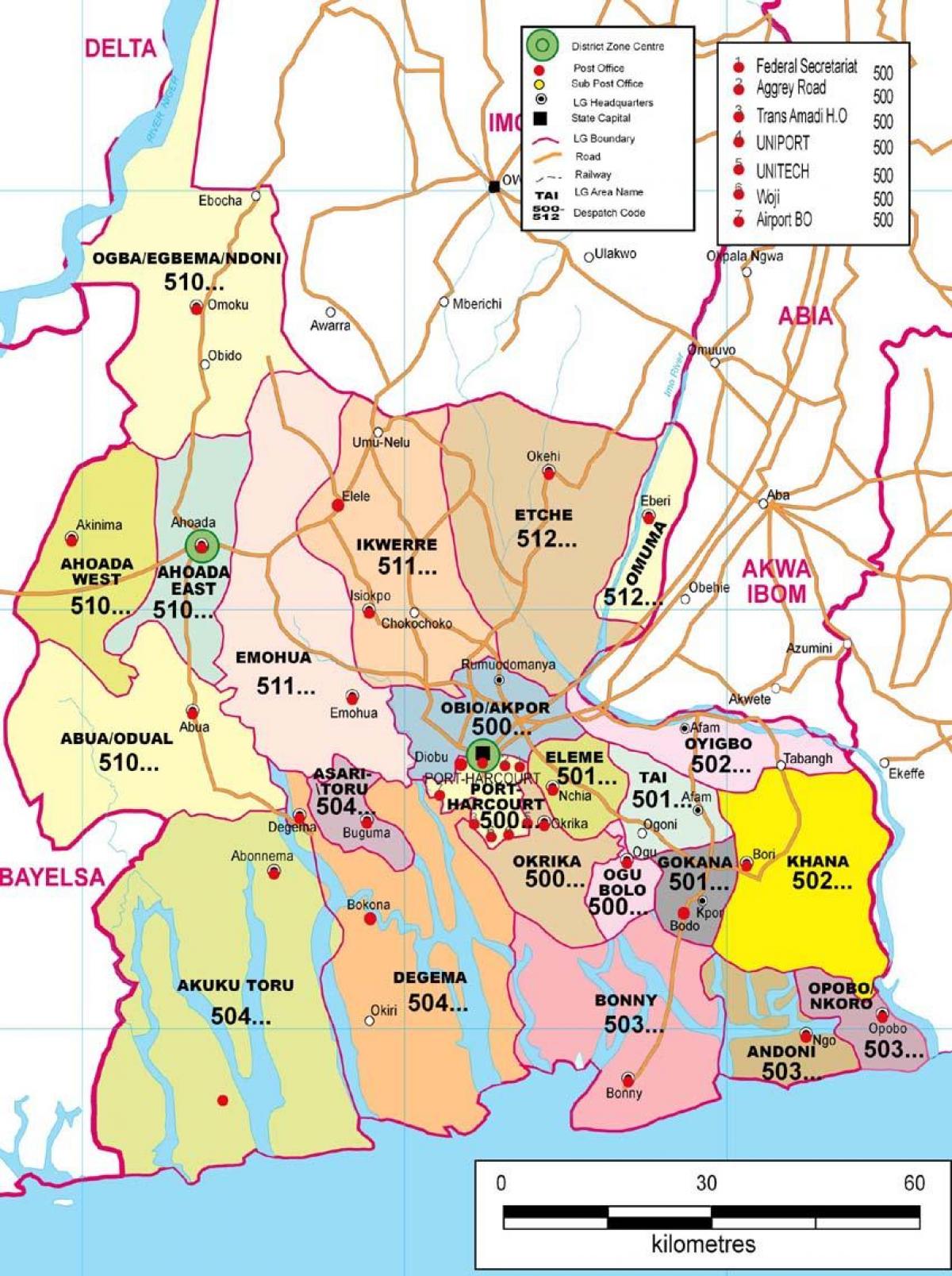
Rivers State is a crucial region in Nigeria, characterized by its unique geography and rich cultural heritage. The Map of Rivers State showcases an intricate network of rivers, including the famous Niger and Bonny Rivers, which play a significant role in the state's economy and transportation. Understanding this map is essential not only for navigation but also for appreciating the environmental and historical context of this vibrant state. Rivers State is located in the southern part of Nigeria, bordered by the Atlantic Ocean to the south, which influences its weather patterns and biodiversity. The map highlights various towns and cities, such as Port Harcourt, the state capital, and other important localities like Aba and Oyigbo.
Rivers State has a complex history that is deeply intertwined with Nigeria's colonial past. The state was established in 1967 during the state creation exercise, and it has since evolved into an economic powerhouse, primarily due to its oil reserves. The map of Rivers State not only illustrates the physical landscape but also reflects the socio-economic dynamics of the region. For instance, the proximity of oil fields to major rivers indicates how these waterways facilitate the transportation of crude oil and other resources. This geographical advantage has made Rivers State a focal point for both local and international business.
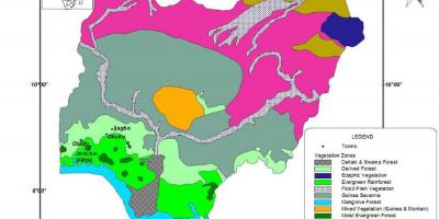
Geographically, Rivers State is endowed with numerous natural resources that are depicted on the map. The state's lush vegetation and fertile lands contribute to agriculture, with crops like cassava and yam being cultivated extensively. The map also showcases the wetlands and mangrove ecosystems, which are vital for biodiversity and serve as a habitat for various wildlife species. The rich natural resources of Rivers State highlight the importance of sustainable management practices to protect the environment while promoting economic growth.
The practical uses of the Map of Rivers State extend beyond mere navigation. It serves as a valuable resource for researchers, students, and policymakers. By analyzing the map, one can identify key infrastructure projects, such as roads and bridges, that enhance connectivity and support development initiatives. Additionally, the map provides insights into population distribution, enabling effective planning for urbanization and service delivery. Tourists and locals alike can benefit from understanding the geographical layout, as it facilitates easier travel and exploration of the region's scenic attractions.
In conclusion, the Map of Rivers State, Nigeria, is more than just a representation of geographical features; it encapsulates the history, culture, and economic potential of the region. It serves as a guide for understanding the complexities of Rivers State and its significance within the broader context of Nigeria. Whether you are a researcher, a student, or an adventurous traveler, this map is an essential tool for navigating the rich tapestry of Rivers State's landscape and heritage.
In summary, the Map of Rivers State provides essential insights into the geography and dynamics of this vibrant region. Exploring this map can enhance your understanding of Nigeria's diverse landscapes and cultural richness.
-
Rivers State was created in 1967 and is one of the 36 states in Nigeria.
-
The state capital, Port Harcourt, is known as the "Garden City" due to its numerous green spaces.
-
Rivers State has vast oil reserves, making it one of the richest states in Nigeria.
-
The Bonny River is one of the major rivers in the state, serving as a vital shipping route.
-
The state's economy is largely driven by the oil and gas industry, contributing significantly to Nigeria's GDP.
-
Rivers State is home to several ethnic groups, including the Ikwerre, Kalabari, and Ogoni peoples.
-
The region has a tropical climate, characterized by a wet season and a dry season.
-
Cultural festivals in Rivers State, such as the Kalabari Durbar, showcase rich traditions and heritage.
-
The mangrove swamps of Rivers State are among the largest in Africa, supporting diverse wildlife.
-
The state has numerous tourist attractions, including beaches, wildlife parks, and historical sites.