Explore the Majestic Mountains of Nigeria: A Comprehensive Map Guide
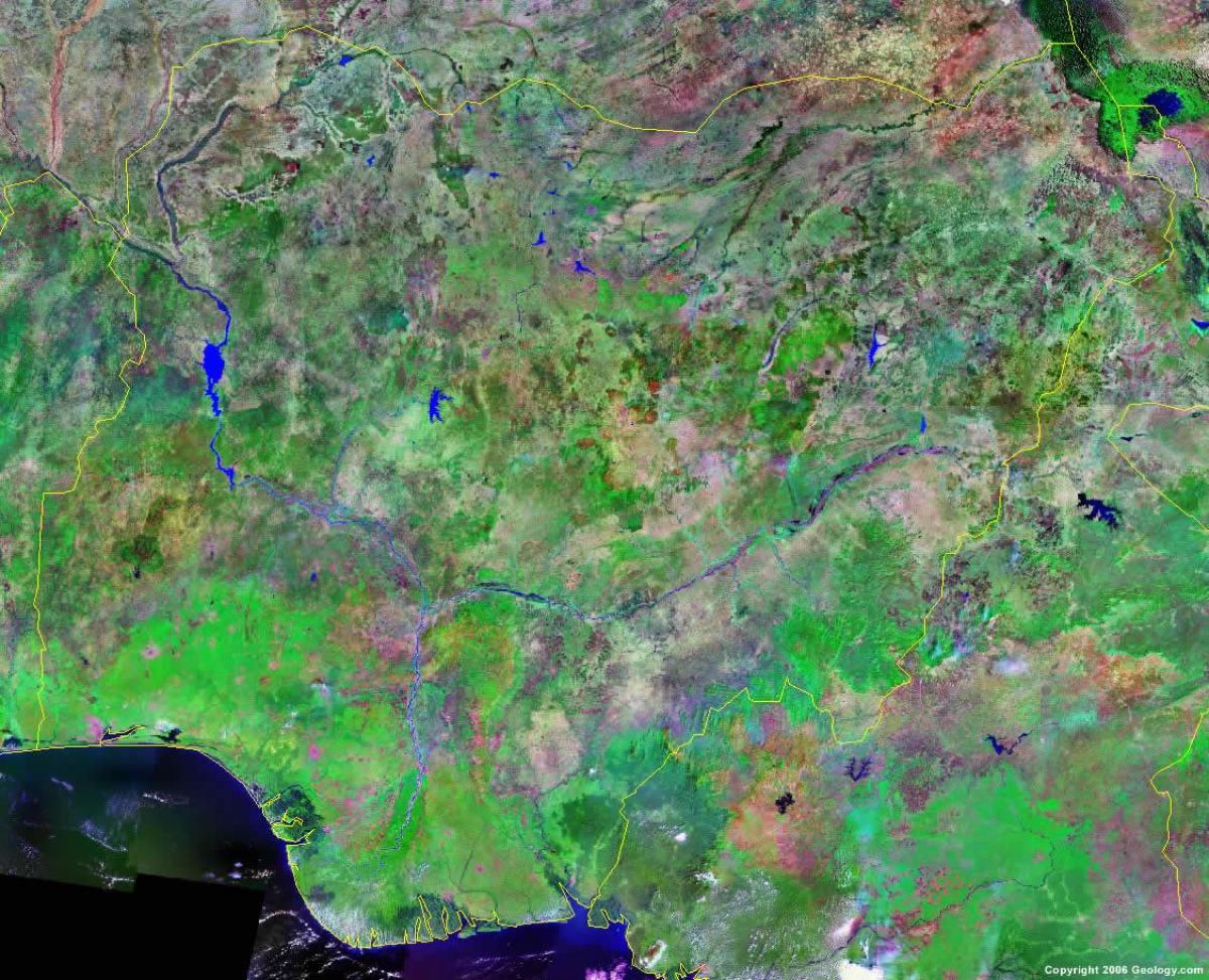
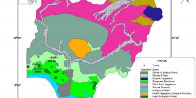
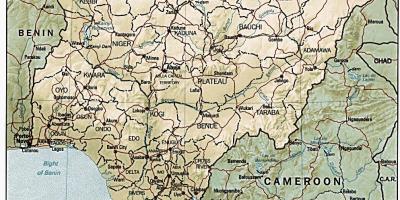
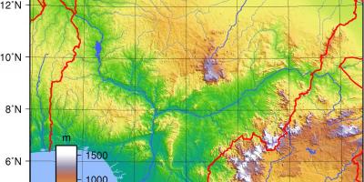
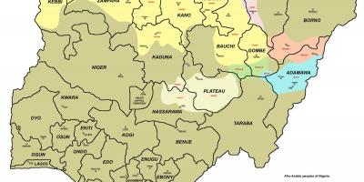
Nigeria is a country rich in diverse landscapes, and its mountains play a crucial role in defining its geographic identity. A map of Nigeria's mountains reveals key ranges such as the Jos Plateau, the Mambilla Mountains, and the Obudu Plateau, all of which are not only breathtaking but also significant in terms of ecology, culture, and history. These mountainous areas provide critical habitats for various wildlife species and contribute to the country's water supply by influencing weather patterns.
The Jos Plateau, located in the central region of Nigeria, is renowned for its scenic beauty and cool climate, making it a popular tourist destination. The plateau's elevation, which ranges from 1,200 to 1,800 meters above sea level, creates a unique environment that supports diverse flora and fauna. The Mambilla Mountains, stretching across Taraba State, are Nigeria's highest peaks, with Chappal Waddi reaching an impressive 2,419 meters. This region is known for its rich agricultural lands, producing tea and coffee, which are vital to the local economy.
Historically, Nigeria's mountains have been significant to various ethnic groups and indigenous communities. Many mountains are considered sacred, with local legends and traditions intertwined with their existence. For example, the Ngwo Pine Forest in Enugu State is famous for its unique geological features and cultural importance, attracting many visitors who seek to learn about the local heritage. The mountains have also served as natural fortresses during conflicts, providing refuge to communities throughout Nigeria's history.
Geographically, the location of these mountain ranges influences not only local climates but also the agricultural practices in the surrounding areas. The high altitude of the Mambilla Plateau creates a cooler climate, allowing for the cultivation of crops that thrive in such conditions. Furthermore, the river systems originating from these mountains are essential for irrigation and drinking water, underpinning the livelihoods of millions of Nigerians.
A map of Nigeria's mountains is not just a tool for navigation; it is a gateway to understanding the country's geography, culture, and history. Whether you are a tourist planning to explore Nigeria's natural beauty or a researcher studying its ecological significance, this map is invaluable. It highlights hiking trails, notable landmarks, and points of interest within these mountainous regions, ensuring that adventurers can fully appreciate the stunning vistas and unique experiences they offer.
In conclusion, the mountains of Nigeria are much more than physical formations; they represent a rich tapestry of cultural, historical, and ecological significance. Exploring this map unlocks a deeper appreciation for Nigeria's diverse landscape, encouraging further exploration of its geographical marvels and cultural heritage.
Understanding the map of Nigeria's mountains enhances our appreciation of the country's diverse geography. Delve deeper into Nigeria's rich landscapes and discover more about its natural wonders.
-
Nigeria is home to the highest mountain in the country, Chappal Waddi, which stands at 2,419 meters in the Mambilla Mountains.
-
The Jos Plateau is not only known for its stunning views but also for being a major mineral resource area, rich in tin and columbite.
-
Nigeria's mountains, like the Obudu Plateau, have a unique biodiversity, featuring endemic species like the Mambilla monkey and various rare birds.
-
The Mambilla Mountains are often referred to as the 'Nigerian Alps' due to their high elevation and cooling climate, making them a tourist hotspot.
-
Many Nigerian mountains hold cultural significance; for instance, the Awhum Waterfall located in Enugu State is believed to possess healing powers.
-
The scenic beauty of Nigeria's mountains has inspired local artists, writers, and musicians, contributing to the country's vibrant cultural scene.
-
The cooler climate of the Jos Plateau allows for the cultivation of crops like Irish potatoes, carrots, and cabbage, which thrive in high-altitude conditions.
-
Nigeria's mountainous regions contribute significantly to the country's hydroelectric power supply; the Akosombo Dam is an example of this.
-
The Obudu Plateau features a famous resort that attracts tourists with its cable car rides and beautiful landscapes, enhancing local tourism.
-
The mountains of Nigeria play a crucial role in the country's water cycle, with many rivers originating from these elevated regions, providing water for millions.