Explore the Intricacies of South South Nigeria: A Comprehensive Map
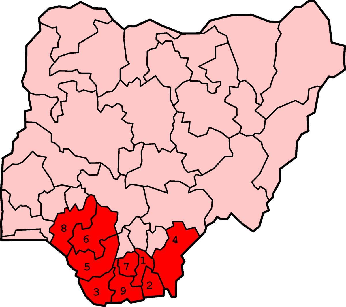
South South Nigeria is a region rich in diversity, culture, and natural resources. It comprises six states: Akwa Ibom, Bayelsa, Cross River, Delta, Edo, and Rivers. A detailed map of South South Nigeria reveals not only the borders and major cities of these states, but also highlights the unique geographical features that make this region stand out. The coastal areas along the Gulf of Guinea are particularly significant, providing access to trade routes and contributing to the region's economy. Understanding the layout of South South Nigeria through its map offers insights into its demographics, infrastructure, and resource distribution.
The historical context of South South Nigeria is vital in appreciating the significance of its map. This region has been a melting pot of various ethnic groups, including the Efik, Ibibio, Ijaw, and Urhobo. Each group has left its mark on the cultural landscape, making the area vibrant and diverse. The map illustrates not only the cultural compositions of the region but also the historical trade routes that have shaped the interactions between communities over centuries. An awareness of the historical context provides a deeper understanding of the current socio-political dynamics in South South Nigeria.
Geographically, South South Nigeria is characterized by an intricate network of rivers, mangroves, and wetlands. The Niger River, one of Africa's longest rivers, flows through the region, nourishing the land and supporting agriculture and fishing. The map highlights the major rivers, providing a visual representation of how they influence the lives of the inhabitants. The region's geographical significance extends to its vast oil reserves, which have attracted both domestic and foreign investments. The map serves as a crucial tool for understanding the economic potential and environmental challenges faced by South South Nigeria.
In practical terms, the map of South South Nigeria is invaluable for various stakeholders. For government agencies and policymakers, it assists in planning infrastructure development, resource management, and emergency response strategies. For businesses, it offers insights into market locations and logistics. Tourists and researchers can utilize the map to explore the region's natural beauty, historical sites, and cultural festivals. The map is not just a representation of geography; it is a gateway to understanding the region's complexities and opportunities.
To fully appreciate South South Nigeria, one must delve into what the map reveals about the interplay between geography, culture, and economy. This region's unique attributes, showcased through its map, are essential for anyone looking to engage with the area, whether for business, research, or travel. By analyzing the map, one can uncover the stories behind the landscapes, the people, and their rich heritage. Hence, the map of South South Nigeria serves as a vital resource, inviting exploration and deeper understanding of this dynamic part of the country.
In conclusion, the map of South South Nigeria is a powerful tool for anyone interested in the region's geography, history, and culture. Exploring this map can enhance your understanding of the diverse landscapes and communities that thrive within South South Nigeria.
-
South South Nigeria is home to over 40 different ethnic groups, each with unique languages and traditions.
-
The region is one of Nigeria's richest in terms of natural resources, particularly oil and gas, contributing significantly to the country's economy.
-
Akwa Ibom State, part of South South Nigeria, is known for its beautiful beaches and rich cultural heritage, including the famous Ibibio people.
-
The Niger Delta, located in this region, is one of the world's largest wetland areas and is critical for biodiversity conservation.
-
Bayelsa State, also in South South Nigeria, is the birthplace of Nigeria's former President Goodluck Jonathan, reflecting its political significance.
-
The region has a tropical climate, characterized by heavy rainfall, which supports its lush vegetation and agriculture.
-
Cross River State is renowned for its wildlife reserves, including the Cross River National Park, which protects endangered species like the Cross River gorilla.
-
Rivers State is named after the many rivers that flow through it, including the famous Bonny River, which is essential for trade.
-
The cultural festival known as the Calabar Carnival takes place in Cross River State, attracting thousands of visitors each year.
-
Delta State is famous for its rich cultural heritage, with the Urhobo people known for their colorful festivals and traditional dances.