Explore the Map of Nigeria Showing Its Diverse Vegetation Zones
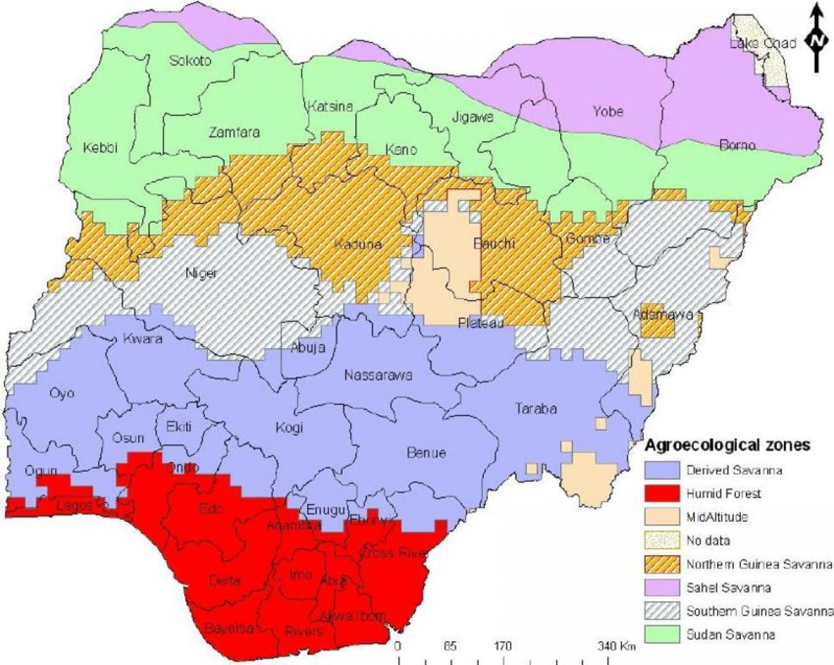
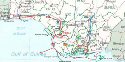
Nigeria, a nation rich in cultural and ecological diversity, is home to various vegetation zones that play a crucial role in its environment and economy. Understanding these zones is essential for appreciating Nigeria's biodiversity and its impact on agriculture, climate, and wildlife. The map of Nigeria showing its vegetation zones presents a detailed view of the different types of vegetation that thrive across the country, including tropical rainforests, savannas, and mangroves.
The vegetation zones in Nigeria can be broadly categorized into five types: tropical rainforest, savanna, scrubland, montane, and mangrove. The southern part of Nigeria features lush tropical rainforests, characterized by a dense canopy, diverse flora, and fauna. These forests are critical for carbon sequestration and serve as habitats for numerous endangered species. As one moves northward, the landscape transitions into savanna, where grasses dominate, interspersed with scattered trees and shrubs. This region is vital for livestock grazing and agricultural activities, making it an essential area for Nigeria's economy.
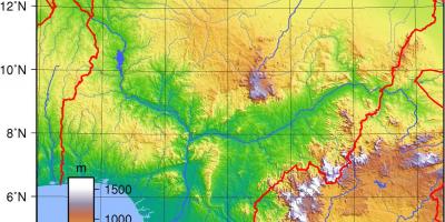
Historically, the distribution of these vegetation zones has been influenced by climatic conditions, soil types, and human activities. The northern regions experience a more arid climate, leading to the prevalence of scrubland and savanna vegetation. In contrast, the humid southern areas support thriving rainforests. Over time, deforestation, agriculture, and urbanization have altered the natural landscape, making it crucial to study and understand these changes through maps.
Geographically, the vegetation zones of Nigeria are significant for several reasons. They contribute to the country's rich biodiversity, supporting a wide range of plant and animal species. Understanding these zones helps in conservation efforts and sustainable land management practices. Moreover, vegetation maps are essential tools for policymakers and environmentalists to plan for land use, combat deforestation, and implement climate change mitigation strategies. The knowledge gained from these maps can also guide farmers in selecting appropriate crops suited to their local environments.
In practical terms, the map of Nigeria showing vegetation zones serves as a vital resource for various stakeholders, including ecologists, land planners, and educational institutions. It aids in visualizing the ecological diversity of Nigeria and promotes awareness of the need for conservation. Furthermore, the map can be utilized in tourism, as it highlights areas of natural beauty and ecological significance that attract visitors.
In conclusion, the map of Nigeria depicting its vegetation zones is not merely a representation of plant life; it is a crucial tool for understanding the intricate relationships between the environment, economy, and biodiversity. By exploring this map, one can appreciate the ecological richness of Nigeria and the importance of preserving its diverse landscapes for future generations.
The map of Nigeria's vegetation zones offers invaluable insights into the country's ecological diversity and its significance for sustainable development. Explore further to understand how these zones shape Nigeria's natural and economic landscapes.
-
Nigeria is home to one of the largest rainforests in Africa, located in the southern part of the country.
-
The country has over 200 identified vegetation types, contributing to its rich biodiversity.
-
Nigerian savannas are characterized by grasses and scattered trees, making them ideal for agriculture and livestock.
-
The mangrove forests along Nigeria's coastline are essential for protecting coastal communities from erosion and flooding.
-
Nigeria's rainforest regions are among the world's top biodiversity hotspots, housing numerous endemic species.
-
Deforestation in Nigeria has increased significantly over the last few decades due to agricultural expansion and urbanization.
-
The country's vegetation zones are crucial for carbon storage, helping to mitigate climate change effects.
-
The montane vegetation zone can be found in the Jos Plateau, which has a cooler climate and unique plant species.
-
Nigeria's vegetation is influenced by both the Atlantic Ocean's humidity and the dry air from the Sahara Desert, creating diverse ecosystems.
-
Conservation efforts in Nigeria aim to protect key vegetation zones, recognizing their importance for wildlife and human livelihoods.