Explore the Detailed Map of Nigeria PNG for Geography Enthusiasts
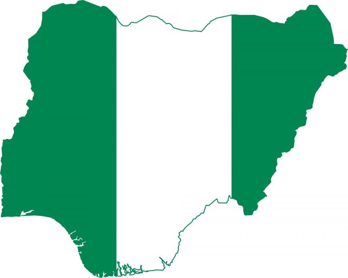
A Map of Nigeria in PNG format is a versatile and essential tool for understanding the geographical layout of this vibrant West African nation. This digital representation highlights Nigeria's diverse landscapes, including its bustling cities, natural resources, and various terrains. The map not only provides a visual reference for those studying Nigerian geography but also serves as a practical guide for travelers, educators, and researchers seeking to comprehend the complexities of Nigeria's topography.
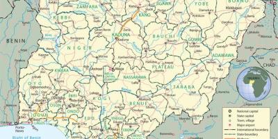
Historically, maps have played a crucial role in shaping nations. Nigeria's map reflects its colonial past and the resulting administrative divisions that have influenced the country's current structure. Understanding the historical context of these divisions is vital, as they impact contemporary political and social dynamics. The Map of Nigeria PNG illustrates states, regions, and key cities like Abuja, Lagos, and Port Harcourt, shedding light on the historical evolution of these urban centers and their significance in Nigeria's development.
Geographically, Nigeria is rich in diversity, housing a variety of ecosystems ranging from savannas to rainforests. The map showcases major rivers, such as the Niger and Benue, which are integral to the country's agriculture and transport systems. Additionally, Nigeria is abundant in natural resources, including oil and gas, and the map can help identify regions where these resources are concentrated. This geographical insight is crucial for understanding the economic landscape of Nigeria and its role in the global market.
The practical uses of a Map of Nigeria PNG extend beyond academic purposes. Tourists can utilize the map to navigate through Nigeria’s cultural hotspots, national parks, and historical sites. For businesses, understanding regional demographics and infrastructure through the map can aid in strategic planning and market analysis. Furthermore, educators and students can use the map as a teaching resource, fostering a deeper appreciation for Nigerian geography in classrooms.
In conclusion, the Map of Nigeria PNG is not just a simple graphical representation; it is a gateway to understanding the geography, history, and cultural significance of Nigeria. Whether you are a student, traveler, or researcher, this map can enrich your knowledge of one of Africa's most dynamic nations. Embracing this resource can lead to greater awareness and appreciation of Nigeria’s vast landscapes and rich heritage.
The Map of Nigeria PNG serves as a valuable resource for anyone interested in the country's geography and culture. Explore more about Nigeria's diverse regions and uncover the many layers of this fascinating nation.
-
Nigeria is the most populous country in Africa, with over 200 million residents, making it a significant player in regional politics and economics.
-
The Niger River, one of the longest rivers in Africa, flows through Nigeria and is crucial for transportation and irrigation in the country.
-
Nigeria is known for its diverse ethnic groups, with over 250 different languages spoken across the nation, reflecting its rich cultural heritage.
-
Lagos, Nigeria's largest city, is one of the fastest-growing cities in the world and serves as the country's financial hub.
-
The country is divided into 36 states and one Federal Capital Territory, Abuja, which was established as the capital in 1991 to promote national unity.
-
Nigeria has numerous national parks, including Yankari National Park, which is famous for its hot springs and diverse wildlife.
-
The country is a major producer of oil in Africa, contributing significantly to its GDP and making it a key player in the global oil market.
-
The Map of Nigeria PNG can depict various geographical features, such as the Jos Plateau, known for its unique landscapes and cooler climate.
-
Nigeria is home to the largest film industry in the world, known as Nollywood, which produces thousands of films annually and influences culture across Africa.
-
The country has a rich history of trade, with ancient cities like Kano and Benin playing vital roles in trade routes across West Africa.