Explore the Editable Map of Nigeria: Geography and Insights
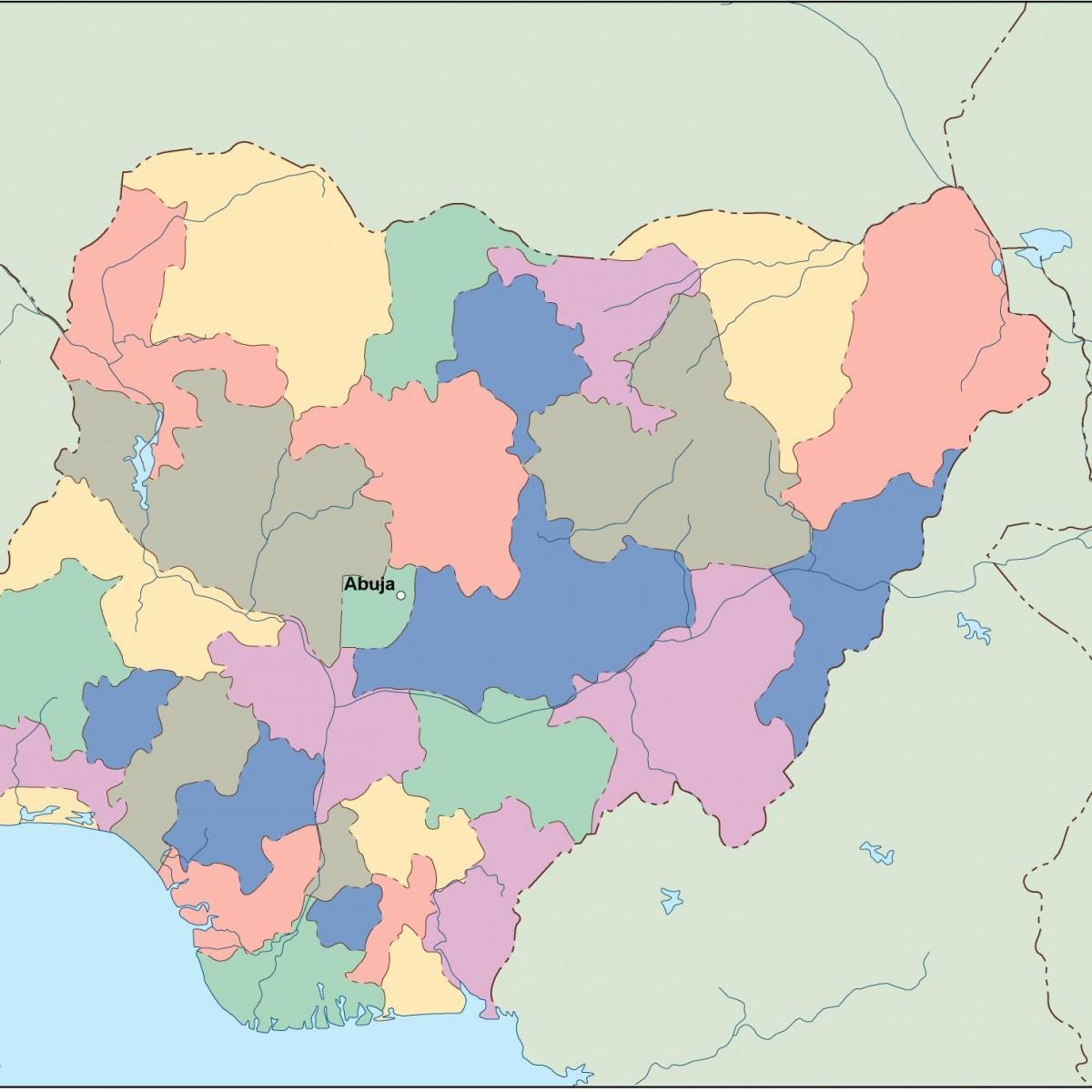
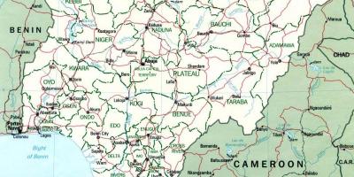
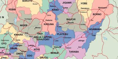
The editable map of Nigeria is a powerful tool that allows users to interact with the country's diverse geography. This map provides detailed insights into Nigeria's 36 states and the Federal Capital Territory, Abuja. It serves as a valuable resource for students, researchers, and travelers looking to understand the country's complex layout, cultural regions, and geographical landmarks. With features allowing users to zoom in, annotate, and highlight various areas, the editable map emphasizes Nigeria's rich cultural and geographic diversity.
Understanding the significance of this map goes beyond mere navigation. Nigeria is the most populous country in Africa, with over 200 million people, and its geography plays a crucial role in its socio-economic status. The map highlights key geographical features such as the Niger River, the Benue River, and the varying landscapes from the coastal areas in the south to the arid regions in the north. These geographical distinctions influence local economies, cultures, and lifestyles throughout Nigeria.
Historically, the regions represented on the map have evolved significantly over time. The amalgamation of various ethnic groups, including the Hausa-Fulani, Yoruba, and Igbo, showcases Nigeria's rich history and cultural heritage. The map not only displays current state boundaries but also reflects historical shifts in governance and territorial claims. By exploring the editable map, users can gain insights into historical events that have shaped Nigeria's current political landscape.
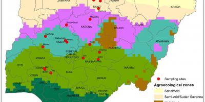
The geographic significance of Nigeria is further highlighted by its natural resources, which can be traced using the editable map. Oil reserves located in the Niger Delta region have transformed Nigeria into a leading oil producer, impacting both the national economy and global markets. Additionally, the map allows users to explore agricultural zones, mineral deposits, and tourist attractions, making it an essential tool for anyone interested in the country's resources and opportunities.
Practical uses of the editable map of Nigeria are vast. Educators can use it as a teaching aid to illustrate geographical concepts, while businesses can analyze market opportunities based on regional demographics. Tourists can plan their visits by identifying landmarks, cultural sites, and natural wonders across Nigeria. The interactive nature of the map enables users to personalize their exploration and better understand the dynamics at play in this vibrant nation.
In conclusion, the editable map of Nigeria is more than just a geographical representation; it is a gateway to understanding the complexities of Nigeria's landscape, culture, and economy. With its rich historical context and practical applications, this map serves as an essential resource for anyone looking to explore or study Nigeria more deeply. Whether you are a researcher, traveler, or educator, the editable map offers valuable insights into the heart of Nigeria.
The editable map of Nigeria is an essential resource that enables users to explore the rich geography of this diverse nation. We encourage you to delve deeper into Nigeria's unique landscapes and cultures through this valuable tool.
-
Nigeria is the most populous country in Africa, with an estimated population of over 200 million people.
-
The Niger River, one of the longest rivers in Africa, flows through Nigeria and is crucial for agriculture and transportation.
-
Nigeria is home to over 250 ethnic groups, with the three largest being the Hausa, Yoruba, and Igbo.
-
The Federal Capital Territory, Abuja, was established as the capital of Nigeria in 1991, replacing Lagos.
-
The country has a diverse climate that ranges from tropical in the south to arid in the north, influencing regional lifestyles.
-
Nigeria is rich in natural resources, including oil, natural gas, coal, and various minerals, making it a key player in the global market.
-
The country has more than 200 languages spoken, with English being the official language.
-
Nigeria has a coastline of approximately 853 kilometers along the Atlantic Ocean, providing access to vital trade routes.
-
The country boasts several UNESCO World Heritage Sites, including the Aso Rock and the Sukur Cultural Landscape.
-
Nigeria's economy is one of the largest in Africa, driven primarily by oil, agriculture, and telecommunications.