Explore the Map of Nigeria's Capital, Abuja: A Comprehensive Guide
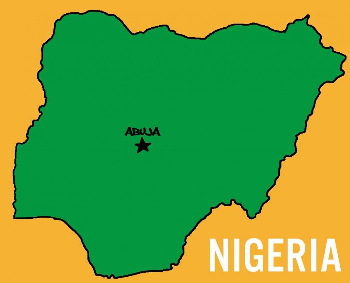
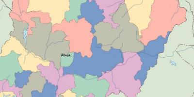
The map of Nigeria's capital, Abuja, serves as a crucial tool for understanding the geographical and political landscape of this vibrant nation. Abuja was chosen as the capital of Nigeria in 1991, primarily due to its strategic location in the center of the country. This move aimed to foster national unity and provide a more equitable geographical representation for all Nigerians. The map illustrates not only the layout of the city but also highlights key landmarks, government buildings, and transport routes, making it an essential resource for both residents and visitors.
Understanding Abuja's significance goes beyond its role as the political heart of Nigeria; it is also a city that reflects the country’s diversity and development. The map showcases various districts, such as the Central Business District, which is home to numerous multinational corporations and embassies. The layout of the city is planned and organized, with wide roads and green spaces that promote a modern urban environment. This strategic planning is visible on the map, providing insights into the city's infrastructure and urban development.
Historically, the choice of Abuja as the capital was influenced by the need for a neutral ground that would not favor any ethnic group over another. The map represents this historical context, as it reflects a city designed to symbolize unity in Nigeria's cultural diversity. The geographical significance of Abuja is highlighted by its location, which is easily accessible from all parts of the country. This accessibility has made Abuja a hub for political activities and international conferences, further solidifying its status as the capital.
The practical uses of the map of Abuja are numerous. For tourists, it serves as a guide to explore the city's attractions, such as the Aso Rock, Nigerian National Mosque, and the Nigerian National Church. For residents, it is an essential tool for navigating the city’s sprawling neighborhoods and facilities. Furthermore, the map is useful for businesses looking to establish operations in Abuja, as it provides valuable information on the city's layout and economic zones. The digital maps available online also offer interactive features, allowing users to zoom in on specific areas and view real-time traffic updates.
In conclusion, the map of Nigeria's capital, Abuja, is not merely a representation of streets and buildings; it embodies the essence of a nation striving for unity and progress. Whether you are a traveler, a student of geography, or a business professional, understanding this map enriches your perspective on Nigeria's capital and its vital role within the country. As you explore Abuja further, let the map guide you through its rich history and dynamic urban landscape.
In summary, the map of Nigeria's capital, Abuja, is an invaluable resource for understanding the country's political and geographical dynamics. We encourage you to delve deeper into the geography of Nigeria and discover more about its diverse regions and cultures.
-
Abuja was officially designated as Nigeria's capital in 1991, replacing Lagos due to its central location.
-
The city was purpose-built and planned to accommodate the growing political and administrative needs of Nigeria.
-
Abuja is located approximately in the geographic center of Nigeria, making it accessible from all regions of the country.
-
The famous Aso Rock, a 400-meter monolith, is a prominent landmark in Abuja and houses the Nigerian Presidential Complex.
-
Abuja has a population of over 3 million people, making it one of the fastest-growing cities in Africa.
-
The Nigerian National Mosque and Nigerian National Church, both located in Abuja, symbolize the country's religious diversity.
-
Abuja is home to several international embassies, making it a hub for diplomatic activities in Nigeria.
-
The Abuja Metro Rail project, which is under development, aims to improve public transportation within the city.
-
The city features a variety of parks and recreational areas, enhancing the quality of life for its residents.
-
Abuja's climate is characterized by a tropical savanna climate, with distinct wet and dry seasons.