Explore the World Map Showing Nigeria: Geography and Significance
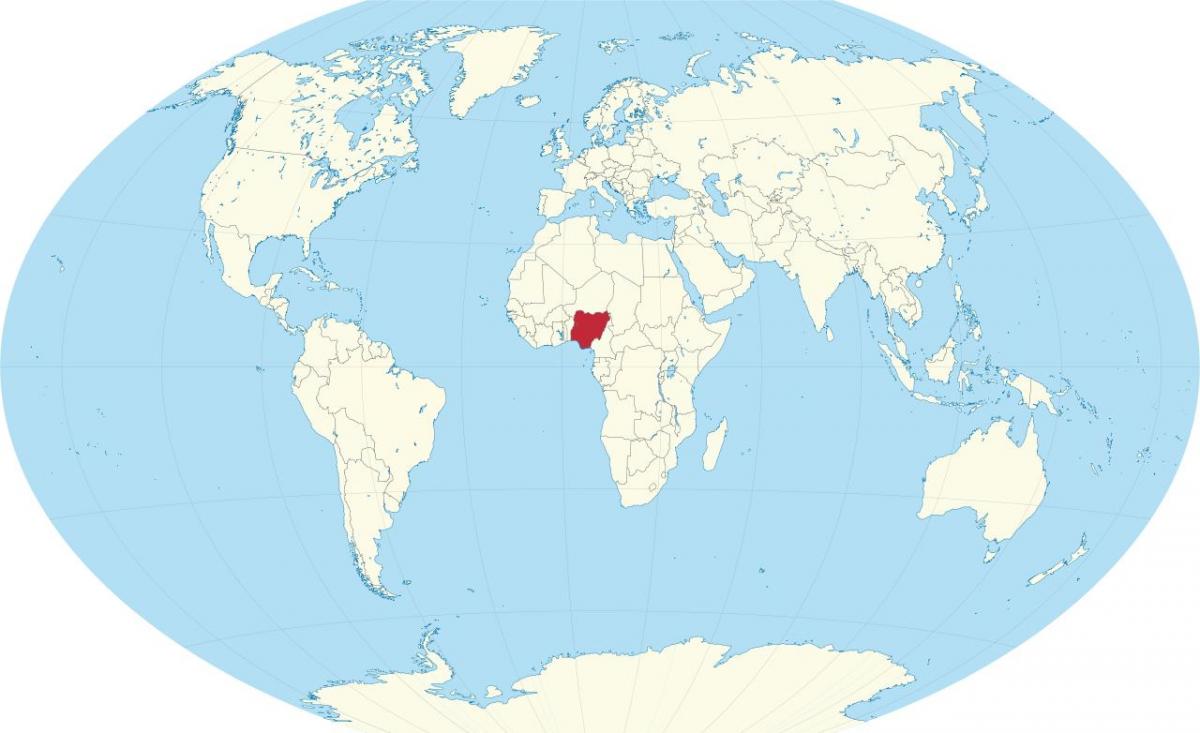
Nigeria, located in West Africa, is the most populous country on the continent, and understanding its place on a world map reveals much about its geography and significance. A world map showing Nigeria highlights not only its borders but also its diverse landscapes, cultures, and resources. This visualization is crucial for recognizing Nigeria's position in both regional and global contexts, showcasing its role as a leading nation in Africa.
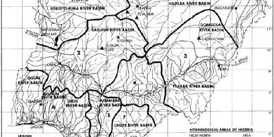
On the world map, Nigeria is primarily situated between latitudes 4° N and 14° N, and longitudes 3° E and 15° E. Bordered by Benin to the west, Niger to the north, Chad to the northeast, and Cameroon to the east, Nigeria's geographic positioning has made it a central hub for trade and cultural exchange in West Africa. The Niger River, one of the longest rivers in the world, flows through Nigeria, providing vital resources for agriculture, transportation, and energy generation. This prominent river is a key feature on any map of Nigeria, emphasizing its importance to the country's economy and livelihoods.
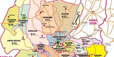
Historically, Nigeria's geographic significance can be traced back to its ancient kingdoms, such as the Benin Kingdom and the Oyo Empire. The location of these empires facilitated trade routes that connected them to other parts of Africa and beyond. The map serves as a reminder of this rich history, highlighting the various regions that contribute to Nigeria's cultural diversity, including the Hausa-Fulani in the north, the Yoruba in the southwest, and the Igbo in the southeast. Understanding these regional distinctions is essential for appreciating Nigeria's complex societal fabric.
In practical terms, a world map showing Nigeria is invaluable for various applications, including education, tourism, and international relations. Students can utilize this map to learn about Nigeria's geography, climate zones, and natural resources. Tourists can identify key attractions, such as national parks, historical sites, and vibrant cities, making it an essential tool for planning visits. Furthermore, policymakers and businesses can leverage this map to analyze trade routes and economic partnerships, enhancing Nigeria's role in global markets.
The significance of a world map showing Nigeria extends beyond mere geography; it encapsulates the nation's identity and aspirations. As Nigeria continues to grow economically and politically, its representation on global maps will play an essential role in shaping perceptions and fostering international relationships. The map becomes a symbol of Nigeria's potential and an invitation for further exploration of its vast landscapes and rich cultures.
In conclusion, a world map showing Nigeria is not just a visual tool; it represents a gateway to understanding the nation's past, present, and future. This map offers a unique perspective on Nigeria's geographic importance and invites individuals to delve deeper into the diverse experiences that define this remarkable country.
In summary, the world map showing Nigeria is an essential resource for understanding the country's geography and cultural diversity. We encourage you to explore more about Nigeria's landscapes and historical significance.
-
Nigeria is the most populous country in Africa, with over 200 million inhabitants, making it a key player in the continent's demographics.
-
The Niger River, which runs through Nigeria, is about 4,180 kilometers long, ranking as the third longest river in Africa after the Nile and Congo rivers.
-
Nigeria has over 250 ethnic groups, with the three largest being the Hausa, Yoruba, and Igbo, each contributing to the nation's rich cultural tapestry.
-
Lagos, Nigeria's largest city, is one of the fastest-growing cities in the world, and it serves as the country's economic hub, attracting millions of residents.
-
The country is endowed with vast natural resources, including oil, which is a major contributor to Nigeria's economy, accounting for over 90% of its foreign exchange earnings.
-
Nigeria is home to the largest film industry in Africa, known as Nollywood, producing thousands of films each year, which has gained international recognition.
-
The country features diverse ecosystems, from the mangroves in the Niger Delta to the savannahs in the north, showcasing a wide range of flora and fauna.
-
Nigeria's geographical area is approximately 923,768 square kilometers, making it the 14th largest country in Africa.
-
The Sahara Desert borders Nigeria to the north, influencing its climate and agricultural practices in the northern regions.
-
Nigeria has a rich history of ancient civilizations, such as the Nok culture, which dates back to 1000 BC, known for its terracotta sculptures.