Exploring the Geological Map of Nigeria: Insights and Significance
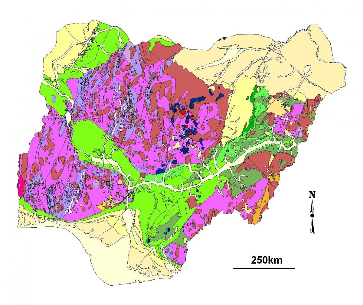
The geological map of Nigeria is a comprehensive representation that illustrates the diverse geological formations, minerals, and rock types found throughout the country. This map plays a crucial role in understanding Nigeria's geological framework, which is characterized by various terrains including sedimentary basins, volcanic regions, and crystalline rocks. By analyzing this map, researchers and geologists can identify the distribution of natural resources such as oil, gas, and minerals, which are vital for Nigeria's economy and development.
One of the significant aspects of the geological map is its historical context. Nigeria's geology has been shaped by various geological processes over millions of years, including the collision of tectonic plates and volcanic activities. These processes have resulted in a rich geological heritage that includes ancient rock formations such as the Basement Complex, which is primarily composed of metamorphic and igneous rocks. Understanding the historical evolution of these geological features helps in the exploration of natural resources and provides insights into the country's geological history.
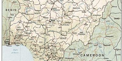
Geographically, Nigeria's geological map highlights the major geological zones, including the Niger Delta, which is one of the world's largest sedimentary basins. The Niger Delta region is not only significant for its rich oil reserves but also for its unique ecosystem. Additionally, the Nigerian Shield, composed of ancient crystalline rocks, is an area of interest for mineral exploration, including precious metals and gemstones. This geological diversity contributes to Nigeria's complex landscape, which varies from coastal plains to mountainous regions.
The practical applications of the geological map of Nigeria are numerous. It serves as an essential tool for urban planning, mining operations, and environmental management. By utilizing this map, policymakers and environmentalists can make informed decisions regarding land use and resource management. Moreover, education and research institutions rely on this map for geological studies, fostering a greater understanding of Nigeria’s geology among students and researchers alike.
In conclusion, the geological map of Nigeria is not just a representation of rocks and minerals; it is a vital resource that encapsulates the country's geological history, economic potential, and environmental considerations. By engaging with this map, individuals and organizations can gain valuable insights into Nigeria's geological landscape and its implications for the future. Exploring the geological map of Nigeria opens up endless opportunities for research, exploration, and sustainable development.
The geological map of Nigeria is an invaluable resource for understanding the country's diverse geology and natural resources. For those interested in exploring Nigerian geography further, delving into this map will provide a wealth of information and insights.
-
Nigeria is home to the largest oil reserves in Africa, primarily located in the Niger Delta region, making its geological map essential for the energy sector.
-
The Basement Complex rocks in Nigeria date back to over 600 million years, providing insight into the ancient geological history of West Africa.
-
Nigeria's geology features sedimentary basins that cover about 70% of the country, with the Niger Delta being one of the most productive areas for oil and gas.
-
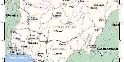
The Jos Plateau in Nigeria is known for its unique volcanic rocks and tin deposits, highlighting the country's geological diversity.
-
Nigeria has a variety of mineral resources, including gold, limestone, coal, and iron ore, all of which are represented in the geological map.
-
The geology of Nigeria is influenced by the West African Craton, a stable part of the Earth's crust that has remained unchanged for billions of years.
-
The country's coastal areas are characterized by extensive sedimentary deposits, which are crucial for oil exploration and marine biodiversity.
-
Geological surveys in Nigeria have identified over 40 different minerals, making it one of the most mineral-rich countries in Africa.
-
The Nigerian geological map is utilized by geologists for studies related to natural hazards, such as earthquakes and landslides, which are essential for disaster management.
-
The geology of Nigeria also plays a significant role in agriculture, as certain soil types derived from geological formations influence crop production.