Explore the Map of Nigeria's Malaria Prevalence and Impact
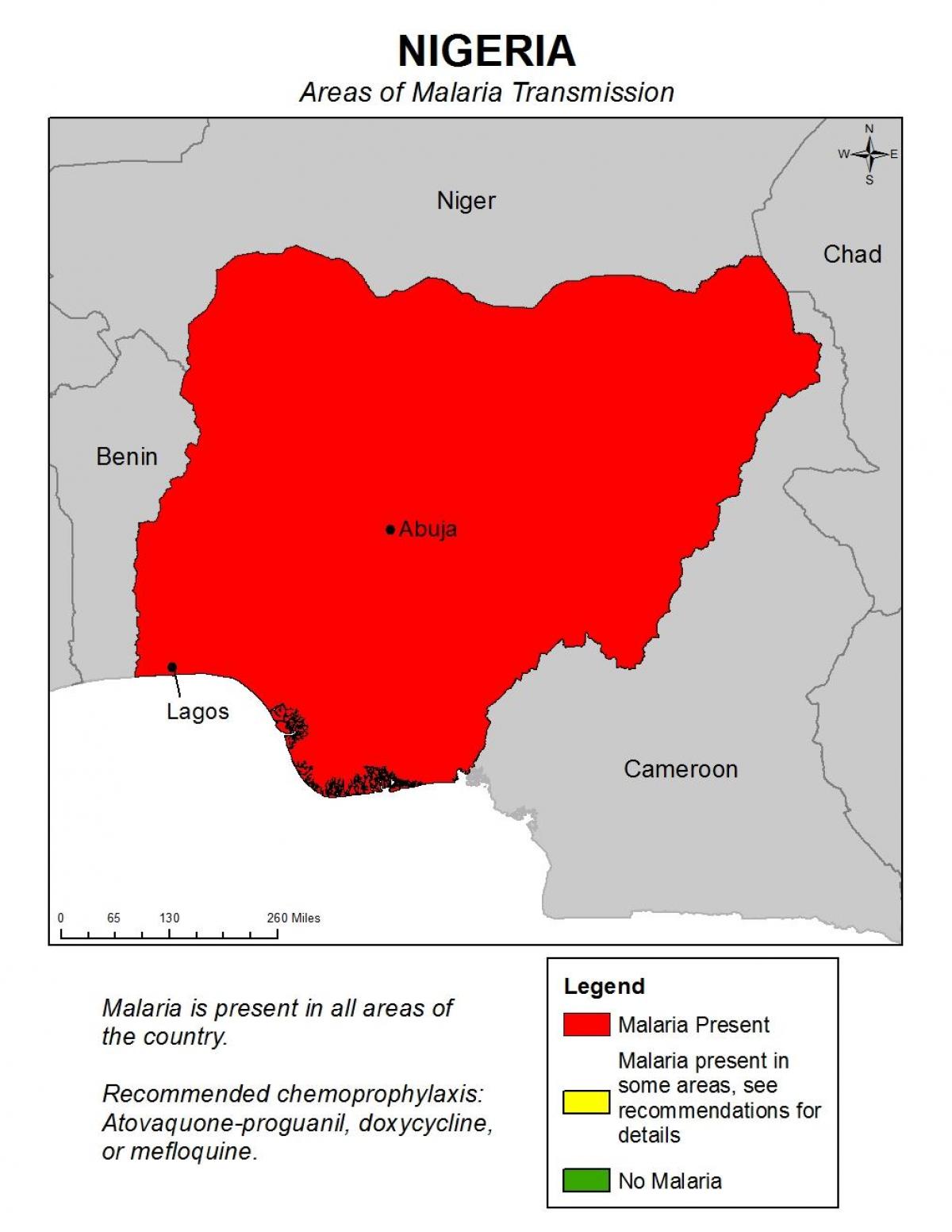
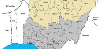
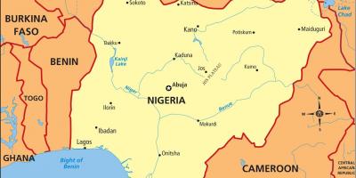
Malaria remains one of the most significant public health challenges in Nigeria, a country that records some of the highest malaria prevalence rates in the world. The map of Nigeria's malaria prevalence illustrates the geographical distribution of this disease across various states and regions, highlighting areas that are most affected. Understanding this map is crucial for health authorities, researchers, and the general public, as it provides insights into the intensity of malaria transmission and the urgency of targeted interventions. With most of Nigeria's population residing in malaria-endemic areas, the implications of this map are profound, impacting health policies, resource allocation, and community awareness campaigns.
Historically, malaria has been a persistent issue in Nigeria since the colonial era. The country has witnessed various efforts to combat this disease, including the introduction of insecticide-treated nets, indoor residual spraying, and antimalarial drugs. The malaria map serves as a historical document that reflects the ongoing battle against this disease, showcasing the progress made and the challenges that remain. Each point on the map indicates not only the prevalence of malaria but also the socio-economic conditions that contribute to its spread, such as poverty, inadequate healthcare infrastructure, and climate factors.
Geographically, Nigeria's diverse climate zones play a significant role in malaria transmission. The southern regions, characterized by a tropical climate, experience higher rainfall, creating ideal breeding grounds for the Anopheles mosquito, the primary vector of malaria. Conversely, the northern areas, which have a more arid climate, also face malaria challenges, particularly during the rainy season. By examining the malaria map, one can observe how geographical factors correlate with infection rates, enabling health officials to strategize interventions based on specific regional needs.
The practical uses of the malaria map extend beyond just academic interest. For health practitioners, it serves as a critical tool for planning and implementing malaria control strategies. By identifying high-burden areas, health organizations can focus their resources on regions that require immediate attention. Additionally, the map can aid in community education, helping residents understand the risks associated with malaria and the importance of preventive measures. Public health campaigns can be tailored based on the data shown in the map, increasing their effectiveness and the likelihood of reducing malaria transmission rates.
In summary, the map of Nigeria's malaria prevalence is not just a visual representation of data; it is a vital resource for understanding and combating this enduring public health crisis. By analyzing the geographical distribution of malaria, stakeholders can make informed decisions that lead to better health outcomes for millions of Nigerians. This map, therefore, is an essential component of ongoing efforts to eliminate malaria in Nigeria and improve the overall health of its population.
Understanding the map of Nigeria's malaria prevalence is critical for tackling this significant health challenge. Explore further to discover more about Nigeria's geography and health initiatives.
-
Nigeria has the highest malaria burden in the world, accounting for 27% of global malaria cases.
-
Malaria transmission in Nigeria is year-round, with peak transmission occurring during the rainy season.
-
The Anopheles mosquito, responsible for malaria transmission, breeds in stagnant water, which is abundant in many regions of Nigeria.
-
Over 100 million Nigerians are at risk of malaria, making it a leading cause of morbidity and mortality in the country.
-
The Nigerian government has launched multiple initiatives, including the National Malaria Control Program, aiming to reduce malaria incidence by 40% by 2020.
-
Malaria is particularly deadly among children under five, with thousands of fatalities reported annually due to the disease.
-
Insecticide-treated nets (ITNs) have proven effective in reducing malaria transmission, with millions distributed across Nigeria in recent years.
-
The economic burden of malaria in Nigeria is estimated to be billions of dollars annually, affecting productivity and healthcare costs.
-
Geographic Information Systems (GIS) are increasingly being used in Nigeria to map malaria prevalence and target interventions more effectively.
-
Community engagement and education are key strategies in Nigeria's fight against malaria, emphasizing the importance of preventive measures.