Understanding the Elevation Map of Nigeria: Geography Insights
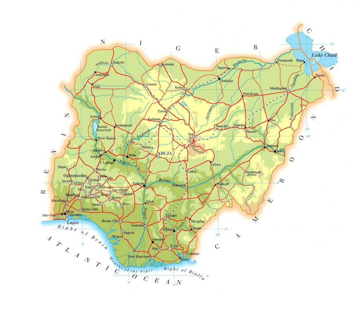
Nigeria is a country characterized by diverse geographical features, and understanding its elevation map reveals much about its topography and environmental conditions. The elevation map of Nigeria illustrates the varying heights above sea level across the nation, from coastal plains to mountainous regions. This map is crucial for various applications, including agriculture, urban planning, and environmental management. By analyzing the elevation data, one can appreciate how geography influences climate, biodiversity, and human activities across Nigeria.
The highest point in Nigeria is the summit of Chappal Waddi, which reaches an elevation of approximately 2,419 meters. This mountain is located in the northeastern part of the country, specifically in the Gashaka Gumti National Park. The national park's elevation map indicates not only the height of Chappal Waddi but also the surrounding terrain, which includes valleys and plateaus. These geographical features contribute to the unique ecosystems found in this region, fostering a variety of plant and animal species that are endemic to Nigeria. Understanding this elevation context can aid in conservation efforts and promote sustainable tourism in the area.
Conversely, Nigeria's coastal areas in the south are predominantly low-lying, with elevations often below 100 meters. The Niger Delta, for example, is a vast wetland region characterized by its rich biodiversity and significant oil reserves. The elevation map highlights the flat terrain that makes this area prone to flooding, which can have serious implications for local communities and the economy. By recognizing these elevation patterns, stakeholders can implement better flood management strategies and develop infrastructure that takes the geographical context into account.
Historically, Nigeria's elevation map has played a significant role in shaping settlement patterns and economic activities. For instance, the higher elevations in the north are often associated with cooler climates, which can support different agricultural practices compared to the hotter, lower-lying regions. This geographic divide has influenced the distribution of crops, livestock, and even cultural practices among the various ethnic groups in Nigeria. Analyzing these trends through the lens of the elevation map provides valuable insights into Nigeria's socio-economic landscape.
Moreover, the elevation data is essential for infrastructure development projects, such as road construction and telecommunications. Knowledge of elevation changes allows engineers to design better roads that can withstand environmental challenges. Proper assessments of elevation can also lead to more effective planning for urban expansion, ensuring that cities grow sustainably while considering their geographical limitations. Therefore, the elevation map of Nigeria is not just a representation of height but a tool for informed decision-making across multiple sectors.
In conclusion, the elevation map of Nigeria serves as a vital resource for understanding the country's diverse landscapes and their implications. From agriculture to urban planning, this map offers insights that can help in strategic planning and resource management. Exploring Nigeria’s topography through its elevation map opens up a world of geographical knowledge that is essential for anyone interested in the country's environmental and cultural dynamics.
The elevation map of Nigeria is a valuable tool for understanding its diverse landscapes and geographical challenges. By exploring this map, you can gain deeper insights into Nigeria's unique topography and its implications for various sectors.
-
Nigeria is home to the highest point in the country, Chappal Waddi, which stands at 2,419 meters in the Adamawa region.
-
The Niger River, one of the longest rivers in Africa, flows through Nigeria and has a significant impact on the country's elevation profiles.
-
Nigeria's coastline extends over 800 kilometers along the Gulf of Guinea, with most areas having elevations below 100 meters.
-
The Jos Plateau, located in central Nigeria, is known for its unique topography and is a significant agricultural region due to its elevation.
-
The average elevation of Nigeria is about 300 meters above sea level, highlighting the country's diverse terrain.
-
The Gashaka Gumti National Park, which contains Chappal Waddi, is the largest national park in Nigeria and is rich in biodiversity.
-
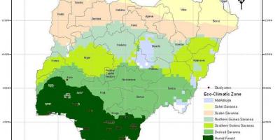
Nigeria has a variety of climate zones that correlate closely with its elevation, affecting rainfall patterns and agricultural productivity.
-
The southwestern region of Nigeria is home to the Yoruba people, whose settlements are often located at higher elevations for cooler temperatures.
-
Flooding in the Niger Delta is exacerbated by its low elevation, making it one of the most vulnerable regions to climate change in Nigeria.
-
The country's topography has influenced its transportation networks, with higher elevations often posing challenges for road construction and maintenance.