Explore Nigeria's Population Distribution Map and Its Insights
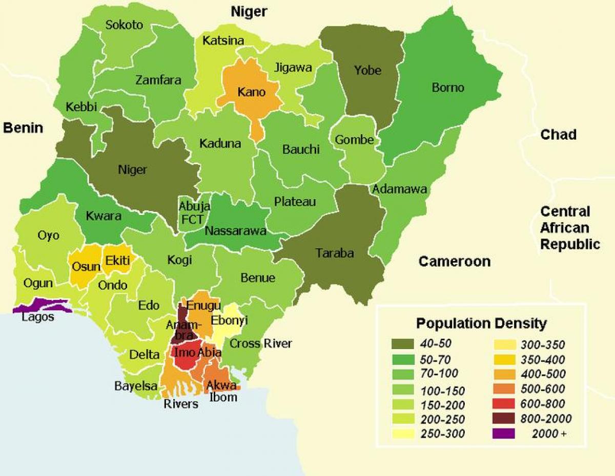
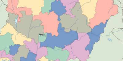
The map of Nigeria showing population distribution is a crucial tool for understanding the demographic landscape of this vibrant nation. With a population exceeding 200 million, Nigeria is the most populous country in Africa. This map visually represents where people live across various states and regions, highlighting urban centers, rural areas, and population density. By analyzing this population distribution map, one can gain insights into the country's socioeconomic dynamics, migration patterns, and regional development.
Understanding the population distribution in Nigeria is vital for various reasons. First, it informs government policy and resource allocation. Areas with high population density, such as Lagos and Kano, require more infrastructure and services, including healthcare, education, and transportation. Conversely, less populated regions may face different challenges, such as underdevelopment or lack of access to essential services. By utilizing the population distribution map, policymakers can better target their efforts to address these disparities.
Historically, Nigeria's population distribution has been influenced by several factors, including colonial legacy, economic opportunities, and cultural practices. The colonial period saw the establishment of trade routes and urban centers, which led to the growth of cities. Today, economic activities such as oil production in the Niger Delta and agriculture in the northern regions continue to shape where people choose to live. The map serves as an important historical document that reflects these ongoing changes in population dynamics.
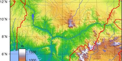
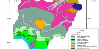
Geographically, Nigeria is diverse, with its landscape ranging from coastal areas along the Atlantic Ocean to the arid regions in the north. Different environments support various livelihoods, which in turn affects population distribution. For example, fertile lands in the Middle Belt attract farmers, while the bustling cities of the southwest draw in migrants seeking employment. The population distribution map showcases these geographic influences, revealing how natural resources and climate affect settlement patterns.
Practically, the population distribution map can be utilized in numerous ways. Businesses can use it to identify potential markets and areas for expansion. Non-governmental organizations can leverage this information to target their humanitarian efforts more effectively. Researchers and academics can study the map to gain insights into urbanization trends and demographic shifts. In essence, the map serves as a foundational resource for anyone interested in Nigerian geography and demographics.
In conclusion, the map of Nigeria showing population distribution is more than just a visual representation of where people live; it is a vital resource for understanding the complexities of Nigerian society. By examining this map, individuals and organizations can gain valuable insights into the country's demographics, which can inform decision-making and foster regional development. Exploring Nigeria's population distribution can pave the way for better planning, resource allocation, and ultimately, a more equitable society.
The map of Nigeria's population distribution offers essential insights into the country's demographics and geography. By understanding these patterns, you can appreciate the rich diversity and complexity of Nigeria.
-
Nigeria has over 250 ethnic groups, with the Hausa, Yoruba, and Igbo being the largest, significantly impacting population distribution.
-
Lagos is the largest city in Nigeria and one of the fastest-growing cities in the world, with a population exceeding 14 million.
-
The northern region of Nigeria is predominantly Muslim, while the southern region is primarily Christian, influencing migration and settlement patterns.
-
The population density in urban areas like Lagos can exceed 20,000 people per square kilometer, highlighting the challenges of urbanization.
-
Nigeria's population is expected to surpass 400 million by 2050, making it a key player in global demographics.
-
The Niger Delta region is not only rich in oil but also has a high population density due to economic opportunities.
-
Sociopolitical factors such as conflicts have led to significant internal migration within Nigeria, shaping population distribution over time.
-
The Middle Belt of Nigeria is known for its fertile land, attracting a large agricultural population.
-
Rural areas in Nigeria are home to approximately 50% of the population, highlighting a significant urban-rural divide.
-
The country has a youthful population, with over 60% of Nigerians under the age of 25, impacting future demographic trends.