Explore Nigeria's Diverse Vegetation Zones: A Comprehensive Map Guide
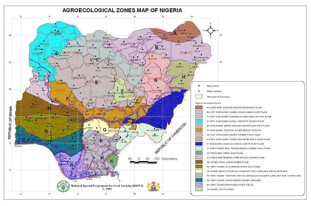
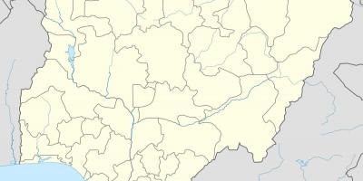
Nigeria is home to a rich tapestry of vegetation zones, each contributing to the country's ecological diversity and economic potential. A map of Nigeria illustrating these distinct vegetation zones reveals the varied landscapes that range from lush rainforests in the south to arid savannas in the north. Understanding these zones is crucial for appreciating Nigeria's natural resources, agricultural practices, and environmental challenges. The primary vegetation zones include tropical rainforests, mangroves, savanna, and montane forests, each supporting unique ecosystems and biodiversity.
The tropical rainforest zone, found primarily in the southern regions of Nigeria, showcases diverse plant and animal species. This area is characterized by high rainfall and humidity, creating a thriving environment for flora such as mahogany and rubber trees. The rainforest plays a significant role in carbon sequestration and climate regulation, making it essential for environmental sustainability. By examining the map, one can observe how these forests are concentrated in specific areas, highlighting the importance of conservation efforts to protect these vital ecosystems.
Moving northward, the vegetation transitions into the savanna, which is marked by a mix of grasslands and scattered trees. This zone supports a variety of wildlife, including large herbivores and predators. The savanna is integral to Nigeria's agricultural economy, as it provides grazing land for livestock and cultivable fields for crops such as millet and sorghum. The map delineates the boundaries of this zone, emphasizing its significance for local communities and food production.
In addition to the savanna, Nigeria's coastline is home to mangrove forests that play a crucial role in protecting coastal ecosystems. These areas are vital for fisheries and serve as nurseries for many marine species. The map highlights the distribution of mangroves along Nigeria's coast, showcasing their importance in biodiversity and as a buffer against coastal erosion. Understanding the geographic significance of these vegetation zones helps policymakers, conservationists, and communities to address environmental challenges, such as deforestation and climate change.
Historically, Nigeria's vegetation zones have influenced human settlement and economic activities. The availability of resources such as timber, fuelwood, and agricultural land has shaped the livelihoods of many Nigerians. The map serves as a tool for researchers, students, and the general public to analyze historical land use and its transformation over time. By understanding the interplay between vegetation and human activities, stakeholders can develop sustainable practices that benefit both the environment and the economy.
In conclusion, the map of Nigeria showcasing different vegetation zones is not just a geographical representation; it is a vital resource for understanding the ecological and economic landscape of the country. By exploring this map, individuals can gain insights into Nigeria's rich biodiversity and the importance of preserving its natural heritage. Whether for academic purposes, environmental studies, or personal interest, this map invites further exploration into the diverse geography of Nigeria.
Exploring Nigeria's vegetation zones through this map enhances our understanding of the country's ecology and its significance for sustainable development. Dive deeper into Nigeria's geography to uncover more about its natural wonders and resources.
-
Nigeria has one of the largest areas of tropical rainforest in West Africa, covering about 10% of the country's total land area.
-
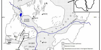
The Niger River, which flows through Nigeria, is vital for transporting goods and supports various vegetation zones along its banks.
-
Nigeria's savanna region is divided into several types, including the northern and southern savanna, each supporting different species of flora and fauna.
-
Mangrove forests in Nigeria are critical habitats that contribute to the livelihoods of coastal communities through fishing and tourism.
-
The vegetation zones in Nigeria are influenced by the country's climate, which ranges from humid tropical in the south to semi-arid in the north.
-
Nigeria is home to over 6,000 species of flowering plants, many of which are found in its diverse vegetation zones.
-
The Nigerian government has established several national parks to protect its unique vegetation and wildlife, with areas like Cross River National Park being a biodiversity hotspot.
-
Historically, the vegetation zones have determined settlement patterns, with communities in savanna regions relying heavily on agriculture and livestock.
-
Deforestation in Nigeria has been a significant issue, especially in the rainforest zones, where logging and land conversion threaten biodiversity.
-
The unique vegetation zones of Nigeria also support a variety of indigenous cultures, each with traditional knowledge and practices related to their environment.