Explore the Map of South East Nigeria: Geography & Culture Insights
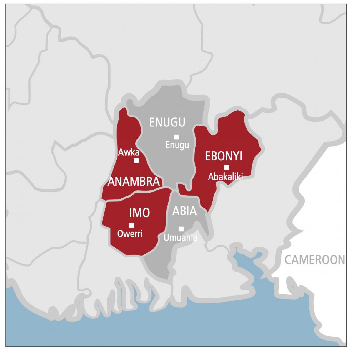
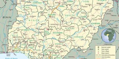
The map of South East Nigeria is a vital tool for understanding this culturally rich and geographically diverse region. Known for its vibrant communities and lush landscapes, South East Nigeria consists of five states: Abia, Anambra, Ebonyi, Enugu, and Imo. This area is characterized by its rolling hills, valleys, and the impressive River Niger, which plays a significant role in the region's agriculture and trade. The map highlights important cities such as Enugu, the capital of Enugu State, and Aba, known for its bustling markets and industries.
Understanding the map of South East Nigeria is important for various reasons. First, it provides insights into the region's infrastructure, including roads, railways, and airports, which are crucial for economic development and connectivity. The map also indicates natural resources, such as coal in Enugu and oil in Abia, which contribute to the region's economy. Additionally, the geographical features depicted on the map can guide tourists and researchers interested in exploring South East Nigeria's unique landscapes and cultural heritage.
Historically, South East Nigeria has been significant in the country's development. This region was central to the Biafran War, a conflict that shaped modern Nigerian history. The map serves as a reminder of the resilience of the Igbo people, who are predominant in this area. It allows viewers to appreciate how geography influenced historical events and the socio-political landscape of Nigeria. The map also reflects the pre-colonial and colonial history, showcasing how various ethnic groups interacted and influenced one another over time.
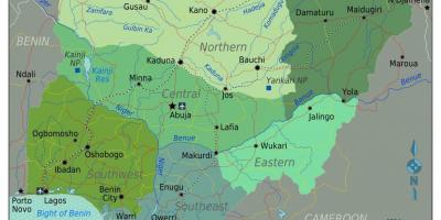
Geographically, South East Nigeria is strategically located, bordered by the South South region and the North Central region. This positioning has made it a hub for trade and transport, facilitating economic exchanges between different parts of Nigeria. The region's fertile land is ideal for agriculture, producing crops such as cassava, yams, and palm oil. The map provides an overview of these agricultural zones, helping potential investors and farmers make informed decisions.
Practically, the map of South East Nigeria serves numerous purposes. It is an essential resource for government planning and policy-making, allowing for better resource allocation and infrastructure development. Educators and students can use the map as a teaching tool to learn about Nigeria's geography, culture, and history. Furthermore, it can assist businesses in identifying potential markets and locations for expansion.
In conclusion, the map of South East Nigeria is more than just a geographical representation; it is a gateway to understanding the region's rich culture, historical significance, and economic potential. Whether you are a traveler, researcher, or business owner, exploring this map can provide valuable insights into one of Nigeria's most dynamic regions.
The map of South East Nigeria is a crucial resource for anyone looking to understand the region's geography and cultural richness. Explore further to uncover the many facets of Nigerian geography.
-
The Igbos, who predominantly inhabit South East Nigeria, are known for their rich cultural heritage, including traditional festivals like the New Yam Festival.
-
Enugu, the capital of Enugu State, is often referred to as the 'Coal City' due to its historical significance in coal mining since the early 1900s.
-
The region is home to the famous Awhum Waterfall, a popular tourist destination known for its scenic beauty and spiritual significance.
-
Ebonyi State is known as the 'Salt of the Nation' due to its large salt production and is also rich in agricultural produce like rice and cassava.
-
The city of Aba in Abia State is a major commercial hub, famous for its textile and footwear industries, drawing traders from across Nigeria.
-
The River Niger, one of Africa's longest rivers, flows nearby, providing vital resources for transportation and agriculture in the region.
-
The architectural style in Enugu reflects its colonial past, with many buildings showcasing British influence from the colonial era.
-
South East Nigeria has a variety of eco-tourism attractions, including the Ngwo Pine Forest and the Ogbunike Caves, attracting nature lovers and adventurers alike.
-
The region has a diverse wildlife, including endangered species such as the Nigerian-Carnivorous Monitor Lizard, which is native to the forests of South East Nigeria.
-
The Igbo language, one of Nigeria's major languages, is widely spoken in South East Nigeria and has numerous dialects, showcasing the region's linguistic diversity.