Explore the Niger Delta Map: A Key Region in Nigeria's Geography
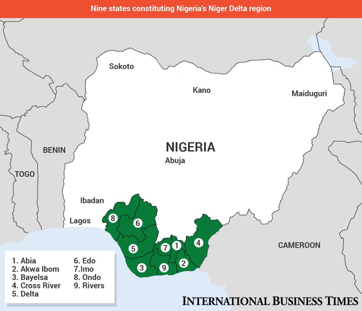
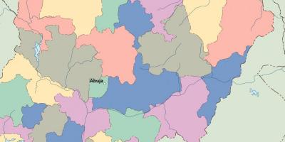
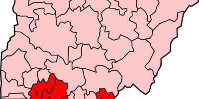
The Niger Delta is one of the most significant regions in Nigeria, comprising nine states and notable for its rich biodiversity, extensive oil reserves, and cultural diversity. A detailed map of the Niger Delta illustrates its geographical layout, including major rivers, towns, and natural landmarks. This area, which encompasses states such as Rivers, Bayelsa, Delta, and Akwa Ibom, is crucial not only for its economic contributions but also for its ecological wealth. The map serves as a valuable resource for understanding the complex interplay between the environment and the communities that inhabit this vibrant region.
Historically, the Niger Delta has been a center for trade and agriculture long before the arrival of European colonizers. The rivers and creeks that form the backbone of the delta facilitated transportation and trade, making it an essential hub for various ethnic groups. The map highlights key historical sites and settlements, showcasing the rich heritage and cultural significance of the region. Understanding this context is vital for appreciating the current socio-economic landscape, which has been heavily influenced by the discovery of oil in the 20th century, transforming the Niger Delta into Nigeria's economic powerhouse.
Geographically, the Niger Delta is characterized by its unique topography, which includes mangrove swamps, rivers, and estuaries. The map reveals how these natural features influence the climate, agriculture, and fishing activities in the region. With a rich array of flora and fauna, the delta is a biodiversity hotspot, making it a critical area for conservation efforts. The intricate network of waterways also plays a significant role in transportation and local livelihoods, emphasizing the importance of this map for both residents and visitors.
Practically, a map of the Niger Delta can serve multiple purposes. For researchers, it provides insights into environmental studies, while for tourists, it offers guidance to explore the delta's natural beauty and cultural landmarks. Businesses and NGOs can utilize the map for planning and development projects, ensuring they align with the region's ecological and cultural frameworks. Furthermore, policymakers can rely on the map to devise strategies that address the environmental challenges facing the Niger Delta, including oil spills and deforestation.
In conclusion, the Niger Delta map is not just a geographical tool; it encapsulates a rich narrative of history, culture, and environmental significance. By exploring this map, individuals can gain a deeper understanding of Nigeria's complex geography and the vital role the Niger Delta plays in the nation's economy and ecology. As you delve into the intricacies of this region, consider the broader implications of its development and conservation efforts.
The Niger Delta map is an essential resource for anyone interested in Nigeria's geography and cultural heritage. Explore further to uncover the diverse landscapes and communities that make up this remarkable region.
-
The Niger Delta is one of the largest deltas in the world, covering approximately 70,000 square kilometers.
-
It is home to over 40 ethnic groups, including the Ijaw, Efik, and Ibibio, each with unique cultures and languages.
-
The region accounts for over 90% of Nigeria's oil production, making it a critical area for the nation's economy.
-
The Niger Delta is characterized by its extensive mangrove forests, which are vital for coastal protection and biodiversity.
-
The rivers in the Niger Delta, including the Niger and Benin Rivers, are crucial for transportation and trade.
-
The delta is one of the most biodiverse regions in Africa, hosting numerous endangered species, including the manatee and various bird species.
-
Environmental issues, such as oil spills and gas flaring, have severely impacted the delta's ecosystems and local communities.
-
The area has been the site of various conflicts, primarily related to oil resources and environmental degradation.
-
The Niger Delta has a tropical climate, with heavy rainfall and high humidity, influencing agriculture and fishing practices.
-
Cultural festivals, such as the Calabar Carnival and the Ijaw Festival, celebrate the rich traditions of the Niger Delta's diverse communities.