Exploring the West Nigeria Map: A Guide to Nigerian Geography
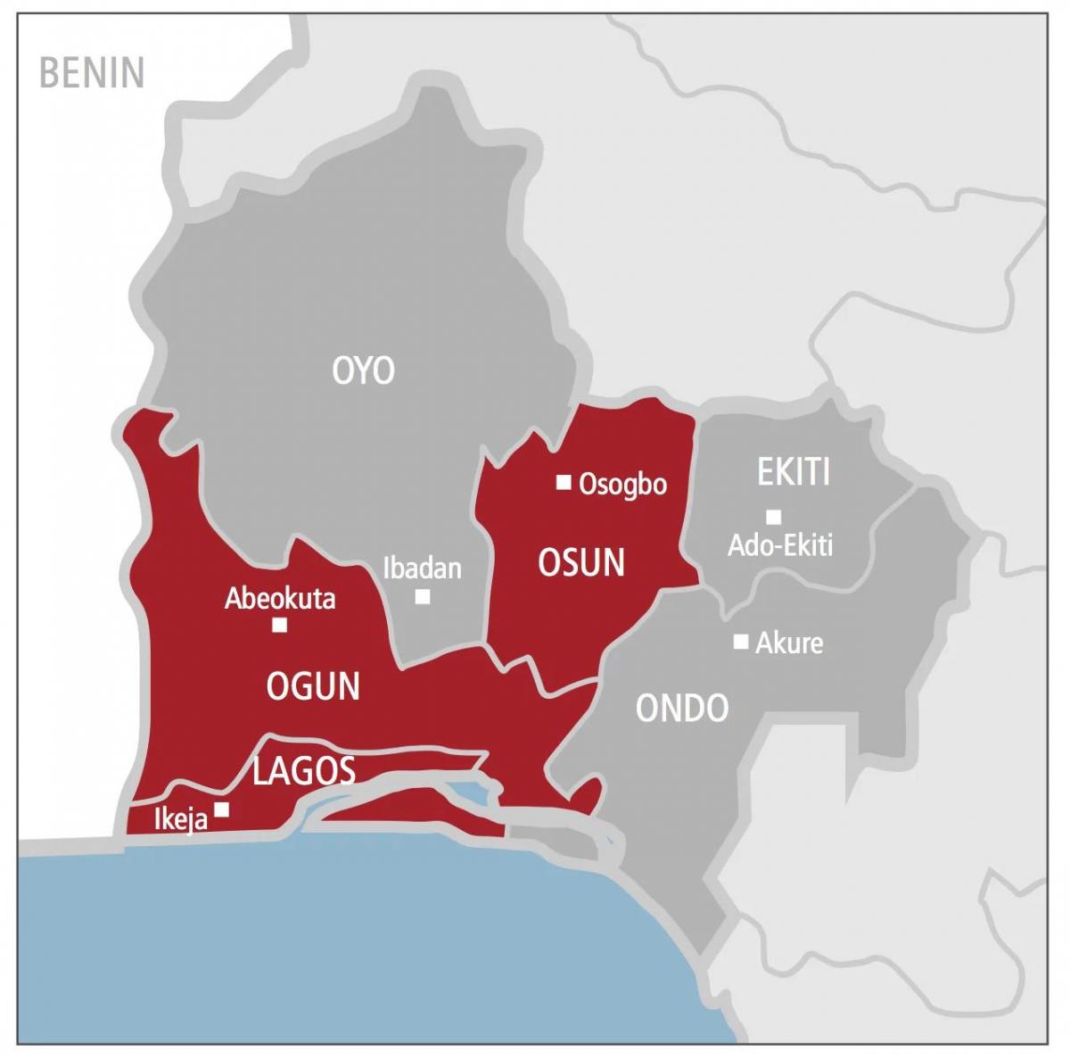
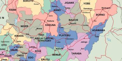
The West Nigeria map is a crucial tool for understanding the geography and cultural landscape of this vibrant region. Covering key states such as Lagos, Ogun, Oyo, Osun, Ekiti, and Ondo, this map highlights the diverse cities, towns, and natural features that characterize West Nigeria. For anyone looking to explore Nigeria, the West Nigeria map is an essential resource that offers insights into the population density, economic activities, and historical landmarks that define the area.
Geographically, West Nigeria is situated in the southwestern part of the country and is known for its lush vegetation, coastal regions, and significant rivers. The region is flanked by the Atlantic Ocean to the south, providing access to important maritime routes. The terrain varies from coastal plains to hilly areas, which influences the agricultural practices and settlement patterns in the region. The West Nigeria map not only outlines these geographical features but also serves as a reference for understanding the socio-economic dynamics that shape the lives of its inhabitants.
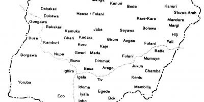
Historically, West Nigeria has been a melting pot of cultures and traditions. It is home to several ethnic groups, including the Yoruba, which is one of the largest ethnic groups in Nigeria. The West Nigeria map showcases historical sites such as the ancient city of Ife, known as the birthplace of the Yoruba civilization, and the Olumo Rock in Abeokuta, an important cultural landmark. Understanding the historical context provided by the West Nigeria map enriches our appreciation of the region's cultural heritage and its influence on contemporary Nigerian society.
In practical terms, the West Nigeria map is invaluable for various stakeholders, including tourists, researchers, and government planners. Tourists can use the map to navigate popular destinations like the Lekki Conservation Centre, where they can explore Nigeria's rich biodiversity, or visit the vibrant markets in Lagos. For researchers, the map aids in demographic studies, urban planning, and environmental assessments. Government agencies can leverage the West Nigeria map for infrastructure development, resource allocation, and emergency response planning, making it a critical tool in policy-making.
In summary, the West Nigeria map is more than just a geographical representation; it is a gateway to understanding the complexities of a vital region in Nigeria. By providing detailed insights into the geography, history, and socio-economic factors, this map serves as an essential resource for anyone interested in exploring Nigeria's rich tapestry of cultures and landscapes. Whether you are a tourist visiting for the first time or a researcher delving into Nigeria's past, the West Nigeria map offers invaluable information that enhances your experience and understanding of this dynamic region.
The West Nigeria map is a powerful tool for navigating the region's diverse landscapes and cultures. Explore further to discover the rich geography of Nigeria and its significance in both historical and modern contexts.
-
West Nigeria is home to Lagos, Nigeria's largest city and one of the fastest-growing cities in the world, with a population exceeding 14 million.
-
The Yoruba people, primarily found in West Nigeria, have a rich cultural heritage that includes traditional music, dance, and art forms, influencing Nigerian culture at large.
-
The region features a tropical climate, characterized by a wet season from April to October and a dry season from November to March.
-
The Olumo Rock in Abeokuta is a significant historical site that served as a fortress during inter-tribal wars in the 19th century, symbolizing the resilience of the Yoruba people.
-
West Nigeria has a diverse economy, with Lagos being a major financial hub, contributing significantly to Nigeria's GDP through commerce, industry, and technology.
-
The Lekki Conservation Centre in Lagos is a popular ecotourism destination, home to the longest canopy walkway in Africa, allowing visitors to experience the region's biodiversity.
-
Oyo State, located in West Nigeria, is famous for its historical significance as the center of the Oyo Empire, one of the most powerful kingdoms in pre-colonial West Africa.
-
The region's agricultural activities are diverse, with crops such as cassava, yams, and cocoa being major contributors to both local and national economies.
-
West Nigeria is also known for its rich literary tradition, with notable authors like Wole Soyinka, the first African Nobel laureate in Literature, hailing from this region.
-
The coastal areas of West Nigeria, particularly in Lagos State, are prone to flooding, highlighting the importance of effective urban planning and climate resilience strategies.