Explore the Map of North East Nigeria: Geography & Insights
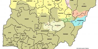
North East Nigeria is a region rich in culture, history, and natural beauty, making its map an essential tool for understanding its geographical significance. The map of North East Nigeria showcases the six states that comprise the region: Adamawa, Bauchi, Borno, Gombe, Taraba, and Yobe. Each state has its unique features, topography, and cultural heritage, providing a diverse landscape for exploration. The map not only highlights major cities and towns, but it also marks significant geographical features, such as the Mandara Mountains and Lake Chad, which are crucial for the region's ecology and economy.
Understanding the map of North East Nigeria is important for several reasons. Historically, this region has been a melting pot of cultures, influenced by various ethnic groups such as the Kanuri, Fulani, and Mumuye. The historical context of the area is essential for comprehending the socio-political dynamics that exist today. For instance, the impact of colonialism and post-colonial governance is evident in the infrastructure and settlement patterns shown on the map. Knowing these historical aspects can enrich your understanding of current events in the region, including challenges related to security and development.
Geographically, North East Nigeria is significant for its strategic location. It borders Chad to the northeast, Cameroon to the southeast, and Niger to the northwest, making it a pivotal area for trade and international relations. The map reveals the transportation networks that connect this region to other parts of Nigeria and neighboring countries. Key highways and roads facilitate movement, while the presence of the Borno State capital, Maiduguri, as a commercial hub illustrates the economic potential of the area.
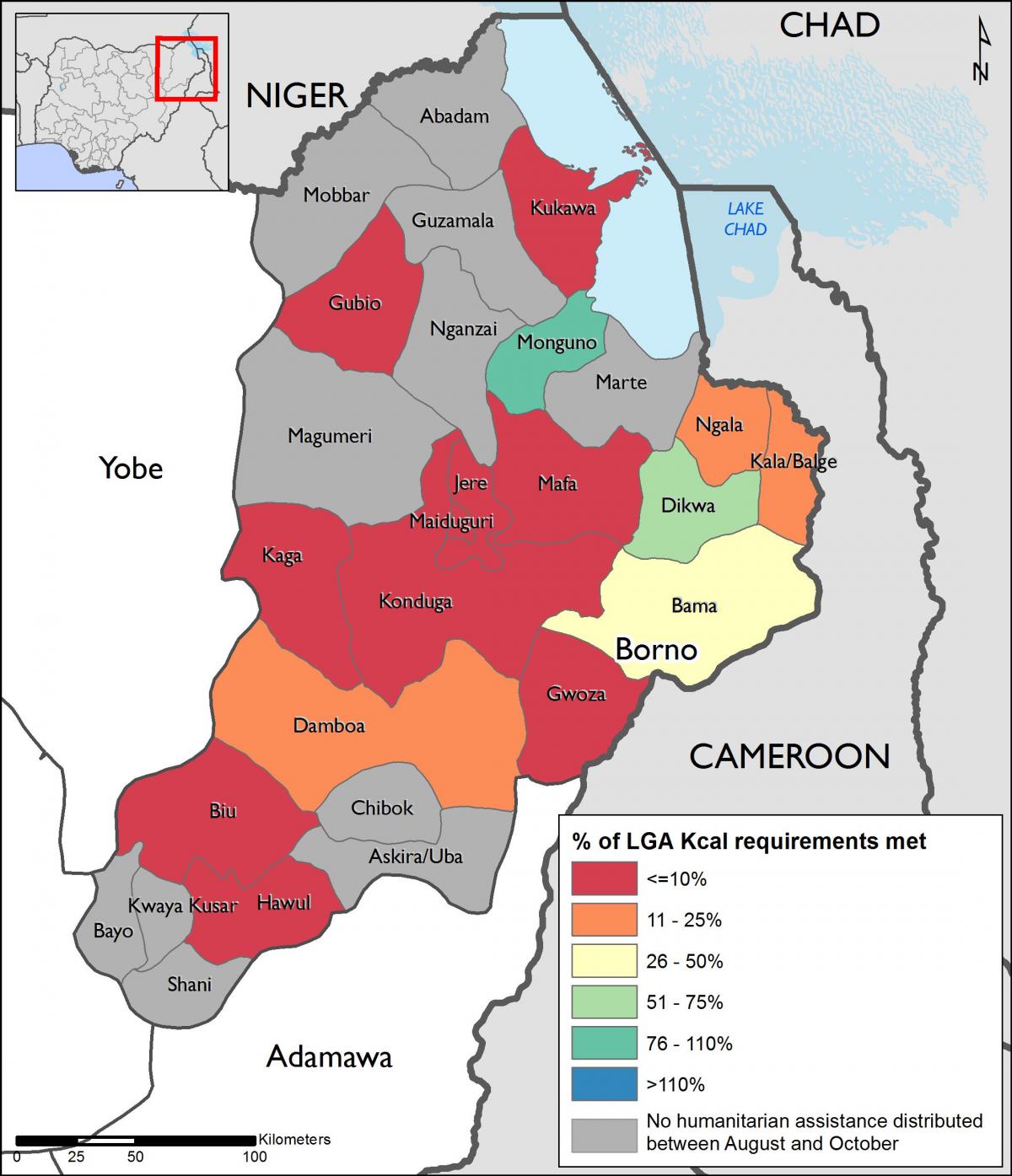
In practical terms, the map of North East Nigeria serves various purposes. For tourists, it provides insights into places of interest, including national parks and historical sites. For researchers and scholars, it is a valuable resource for studying the region's demographics and environmental conditions. Additionally, government officials and NGOs can use the map to identify areas in need of development and humanitarian assistance, making it a crucial tool for planning and resource allocation.
Ultimately, the map of North East Nigeria is more than just a geographical representation; it encapsulates the essence of a region that has faced numerous challenges yet remains resilient. By exploring this map, you gain a deeper appreciation for the cultural diversity and natural beauty that characterize North East Nigeria. Whether you are a student, a traveler, or someone interested in Nigerian geography, this map provides essential insights into one of the country’s most dynamic regions.
In conclusion, the map of North East Nigeria is a vital resource for understanding the complexities of this region. By delving into its geography and history, you can enhance your knowledge of Nigeria's diverse landscapes and cultures.
-
North East Nigeria is home to Lake Chad, which is one of the largest lakes in Africa, supporting local fisheries and agriculture.
-
The region has experienced significant environmental challenges, including desertification, which has affected agricultural productivity.
-
Maiduguri, the capital of Borno State, is often referred to as the 'Home of Peace' due to its historical significance and cultural heritage.
-
The Mandara Mountains, located in the region, serve as a natural border between Nigeria and Cameroon and are rich in biodiversity.
-
North East Nigeria is predominantly inhabited by ethnic groups such as the Kanuri, Fulani, and Shuwa Arab, each with distinct cultures and languages.
-
The region has been impacted by the Boko Haram insurgency, which has affected security and humanitarian conditions since 2009.
-
Taraba State is known for its diverse ethnic communities and is often referred to as the 'Nature State' due to its numerous national parks and reserves.
-
Bauchi State is home to the famous Yankari National Park, which features hot springs and a variety of wildlife, making it a popular tourist destination.
-
Adamawa State is recognized for its agricultural activities, particularly in the production of crops like maize, millet, and beans.
-
Gombe State is known for its rich cultural festivals, including the Gombe Durbar, which celebrates the region's Islamic heritage.