Explore the Geographical Map of Nigeria: A Detailed Overview
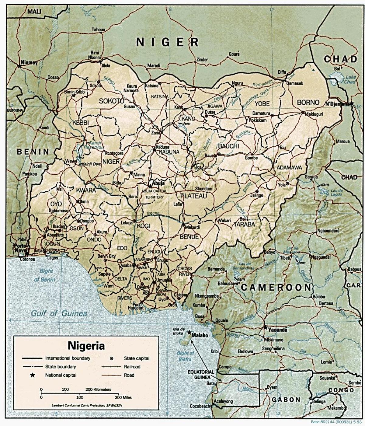
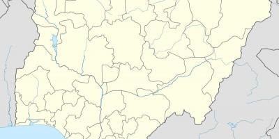
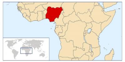
The geographical map of Nigeria serves as a vital tool for understanding the country's diverse landscapes, cultural regions, and historical significance. Nigeria, located in West Africa, is the most populous country on the continent, boasting a rich tapestry of ethnic groups and languages. The map highlights crucial geographical features, including major rivers, mountains, and urban centers that play a pivotal role in the nation’s economic and cultural life.
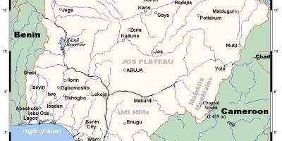
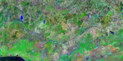
One of the key aspects depicted on the geographical map of Nigeria is the Niger River, which is the longest river in the country and significantly influences agricultural practices and transport. The river flows through several states, providing a water source for millions and serving as a vital trade route. Additionally, the map shows Nigeria's diverse climates, ranging from the arid regions in the north to the lush rainforests in the south. Each of these areas has distinct ecosystems and cultural identities, which are essential for understanding Nigeria's social fabric.
Historically, the geographical map of Nigeria is instrumental in tracing the evolution of various kingdoms and empires that have existed in the region. From the ancient Nok culture to the powerful Hausa-Fulani and Yoruba kingdoms, the map provides context for historical events and migration patterns. This historical perspective is crucial for comprehending how geography has shaped Nigeria's political and social dynamics over the centuries.
The geographic significance of Nigeria extends beyond its borders as well. The country shares borders with Benin to the west, Chad to the northeast, and Cameroon to the east, making it a central hub for trade and movement in West Africa. The map also illustrates Nigeria's extensive coastline along the Atlantic Ocean, which plays a vital role in its economy through fishing, shipping, and tourism. This geographical positioning has made Nigeria a focal point for regional cooperation and development initiatives.
In practical terms, the geographical map of Nigeria is used in various fields, including urban planning, environmental management, and disaster response. Policymakers and researchers rely on accurate maps to implement strategies that address challenges such as climate change, urbanization, and resource allocation. Furthermore, educators and students utilize maps for academic purposes, gaining insights into Nigeria's geography that enhance their understanding of the country's complexities and diversity.
As we explore the geographical map of Nigeria, it becomes evident that this tool is not just a representation of land and water; it encapsulates the essence of a nation. By understanding its geographical features, we gain a deeper appreciation for the cultural richness and historical depth that define Nigeria today. A detailed examination of this map reveals the intricate relationship between geography and identity in one of Africa's most dynamic countries.
The geographical map of Nigeria is a gateway to understanding the nation's rich diversity and history. By exploring this map, you can appreciate the complexities that shape Nigeria's identity and future.
-
Nigeria is home to over 250 ethnic groups, with the three largest being the Hausa, Yoruba, and Igbo; these groups have unique cultural practices and languages.
-
The Niger River is approximately 4,180 kilometers long, making it the third-longest river in Africa and a crucial waterway for trade and agriculture in Nigeria.
-
Nigeria has a diverse climate, ranging from the arid Sahel region in the north to tropical rainforests in the south, influencing the country's biodiversity and agriculture.
-
The country has 36 states and one Federal Capital Territory, with Abuja as the capital; this political division is significant for governance and resource distribution.
-
Nigeria's coastline stretches over 800 kilometers along the Atlantic Ocean, providing access to international shipping routes and fishing grounds.
-
Lake Chad, once one of the largest lakes in Africa, has shrunk dramatically due to climate change and overuse, impacting millions who depend on it for livelihood.
-
The Jos Plateau, located in central Nigeria, is known for its unique geology and is a key area for tin mining, contributing to the country's economy.
-
Nigeria's geographical diversity includes the Mambilla Plateau, which is the highest point in Nigeria at about 2,419 meters above sea level.
-
The country experiences a wet and dry season, with the wet season occurring from May to October, significantly affecting agricultural cycles and water resources.
-
Nigeria is the largest producer of oil in Africa, with its oil fields concentrated in the Niger Delta region, which is crucial for the nation's economy.