Explore the Outline Map of Nigeria: Geography and Significance
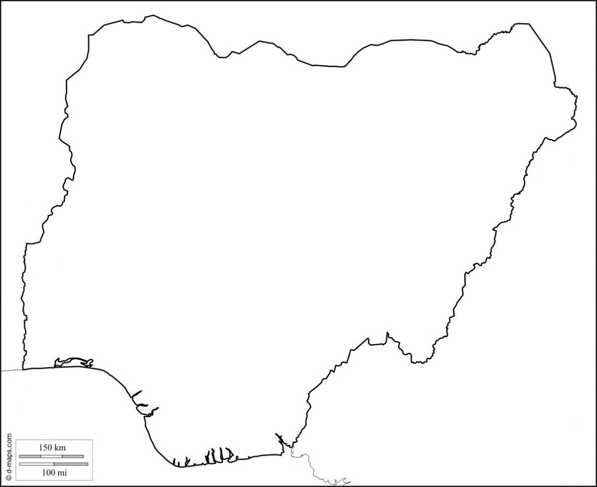
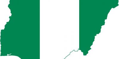
The outline map of Nigeria provides a clear and concise representation of this West African nation. It highlights the country's borders, major cities, rivers, and geographical landmarks, making it an essential tool for education, navigation, and understanding Nigerian geography. With a total area of about 923,768 square kilometers, Nigeria is the largest country in Africa by population and the seventh largest in the world. This map serves as a visual guide to exploring Nigeria's diverse landscapes, from the lush rainforests in the south to the arid regions in the north.
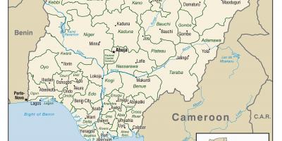
Understanding the geographical significance of Nigeria is crucial. The country is located along the Gulf of Guinea and is bordered by Benin, Niger, Chad, and Cameroon. The outline map clearly shows these borders, which are vital for trade and cultural exchanges. Furthermore, Nigeria's geographical position plays a significant role in its climate; it experiences tropical weather in the south and a more arid climate in the north. The map also identifies major rivers such as the Niger and Benue, which are essential for transportation, agriculture, and fishing, showcasing the country's rich natural resources.
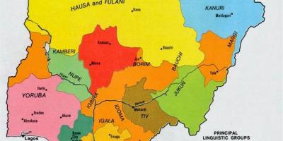
Historically, Nigeria has been shaped significantly by its geographical features. The outline map can help visualize the historical trade routes that passed through the region, connecting various ethnic groups and facilitating commerce. For instance, the ancient city of Kano, marked on the map, was once a significant center for trade in northern Nigeria. Additionally, the influence of colonialism can be observed through the divisions and borders established during that period, which are still relevant today in terms of cultural and ethnic identities.
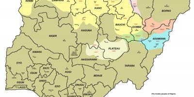
The practical uses of the outline map of Nigeria are numerous. For students and educators, it serves as an invaluable resource for learning about Nigeria's geography, history, and cultural diversity. It can also be used for planning travel routes, understanding regional differences, and engaging in discussions about economic development and environmental issues. Businesses looking to expand in Nigeria can benefit from this map to identify key markets and logistical considerations in different regions.
Moreover, the outline map of Nigeria is an essential tool for policymakers and researchers. It provides a basic framework for analyzing demographic information, economic activities, and resource distribution across the country. This analysis can aid in making informed decisions regarding infrastructure development and resource management.
In summary, the outline map of Nigeria is not just a tool for navigation; it is a gateway to understanding the country's rich geographic and cultural tapestry. Whether you are a student, traveler, or researcher, this map offers valuable insights into Nigeria's landscape and its impact on the lives of its people.
Exploring the outline map of Nigeria opens up a world of geographical understanding and cultural appreciation. Dive deeper into Nigerian geography to uncover even more fascinating facts and insights.
-
Nigeria is the most populous country in Africa, with over 200 million residents.
-
The Niger River, the longest river in Nigeria, is about 4,180 kilometers long.
-
Nigeria is home to over 250 ethnic groups, with the Hausa, Yoruba, and Igbo being the largest.
-
The country has three main geographical regions: the coastal plains, the central plateau, and the northern savannas.
-
Nigeria's oil reserves are among the largest in Africa, making it a significant player in global oil markets.
-
The country has a diverse climate, ranging from tropical in the south to arid in the north.
-
Lagos, Nigeria's largest city, is one of the fastest-growing cities in the world.
-
The Jos Plateau in Nigeria is known for its unique rock formations and cooler climate.
-
Nigeria gained independence from British colonial rule on October 1, 1960.
-
The country's outline map reflects its complex history of cultural interactions and colonial legacies.