Explore the Map of Nigeria's Location in Africa: A Geographic Insight
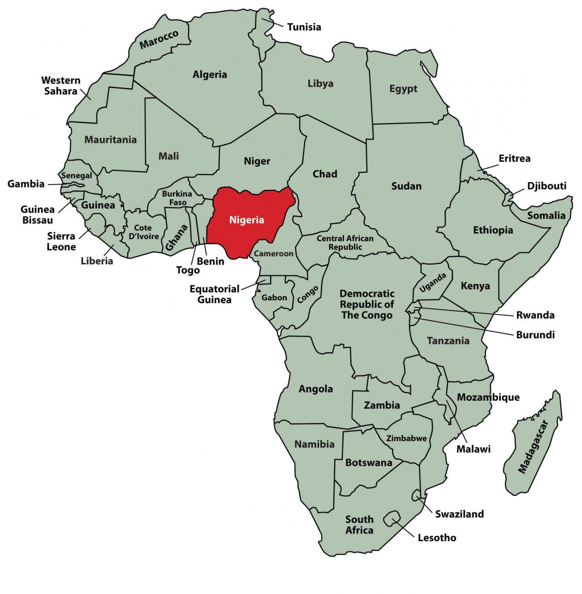
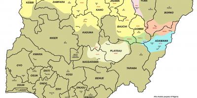
The map of Nigeria's location in Africa is more than just a visual representation; it serves as a crucial tool for understanding the country's geographical significance. Situated in West Africa, Nigeria shares borders with Benin to the west, Niger to the north, Chad to the northeast, and Cameroon to the east. With its coastline along the Gulf of Guinea to the south, Nigeria occupies a strategic position on the continent that has profound implications for trade, culture, and politics.
Understanding Nigeria's placement on the African map is essential for several reasons. Firstly, Nigeria is the most populous country in Africa, with over 200 million inhabitants, which contributes to its status as a significant player in African and global affairs. The geographic diversity of Nigeria, featuring regions such as the Sahara Desert in the north, the lush rainforests in the south, and the Niger River that flows through the country, highlights the rich natural resources and biodiversity that Nigeria has to offer. This diversity not only reflects the country's ecological wealth but also has historical implications for trade routes and settlements.
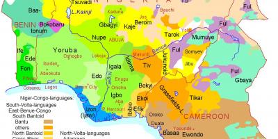
Historically, Nigeria's location has made it a melting pot of cultures and civilizations. The ancient kingdoms of Ife and Oyo flourished in this region, contributing to Nigeria's rich heritage. During the transatlantic slave trade, Nigeria's coastal access to the Atlantic Ocean played a significant role, as it became a hub for the exportation of slaves. Today, this historical context enriches Nigeria's cultural landscape and influences its contemporary identity, making the map a vital reference for understanding its past and present.
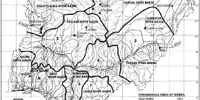
Geographically, Nigeria's position influences its climate and agriculture. The north experiences a dry climate, while the south enjoys a tropical climate, allowing for diverse agricultural practices. The country's vast landscapes support various crops, including yams, cassava, and cocoa, which are significant to the economy. Additionally, the Niger River, one of the longest rivers in Africa, is crucial for transportation and irrigation, showcasing the importance of the map in understanding Nigeria's economic activities.
Practically, the map of Nigeria's location in Africa is indispensable for travelers, businesses, and researchers. For tourists, it provides insights into the various attractions, from the bustling city of Lagos to the historic sites in Kano. Businesses can use the map to identify potential markets and understand regional distribution networks. Researchers and students benefit from the map as it allows for an in-depth study of Nigeria's demographics, resources, and socio-economic factors, making it a valuable educational tool.
In conclusion, the map of Nigeria's location in Africa is much more than a geographic reference; it encapsulates the essence of the country. By exploring Nigeria's geographic significance, historical context, and practical applications, one can appreciate the dynamic nature of this West African nation. Whether you are a traveler, a student, or simply curious about Nigeria, delving into this map unlocks a wealth of knowledge about the country and its pivotal role in Africa.
Understanding Nigeria's geographic placement enhances our appreciation of its cultural and historical richness. Explore further to discover the diverse landscapes and vibrant communities that shape this remarkable country.
-
Nigeria is the most populous country in Africa, with over 200 million people residing within its borders, making it a significant demographic force.
-
The country covers an area of approximately 923,769 square kilometers, ranking as the 14th largest country in Africa.
-
Nigeria has a coastline of about 853 kilometers along the Gulf of Guinea, providing essential access for trade and maritime activities.
-
The Niger River, which runs through Nigeria, is the third longest river in Africa, extending about 4,180 kilometers in total.
-
Nigeria is home to over 250 ethnic groups, with the three largest being the Hausa, Yoruba, and Igbo, contributing to its rich cultural diversity.
-
The country has over 500 languages spoken, making it one of the most linguistically diverse nations in the world.
-
Nigeria is known for its vast natural resources, including oil, which accounts for a significant portion of its economy and foreign exchange earnings.
-
The capital city of Abuja was established in 1991, strategically located in the center of the country to promote national unity and accessibility.
-
The country experiences a variety of climatic zones, from tropical in the south to arid in the north, influencing agricultural practices and biodiversity.
-
Nigeria's location has historically made it a center for trade, with ancient cities like Kano and Timbuktu being key players in trans-Saharan trade routes.