Understanding Desertification in Nigeria: A Detailed Map Analysis
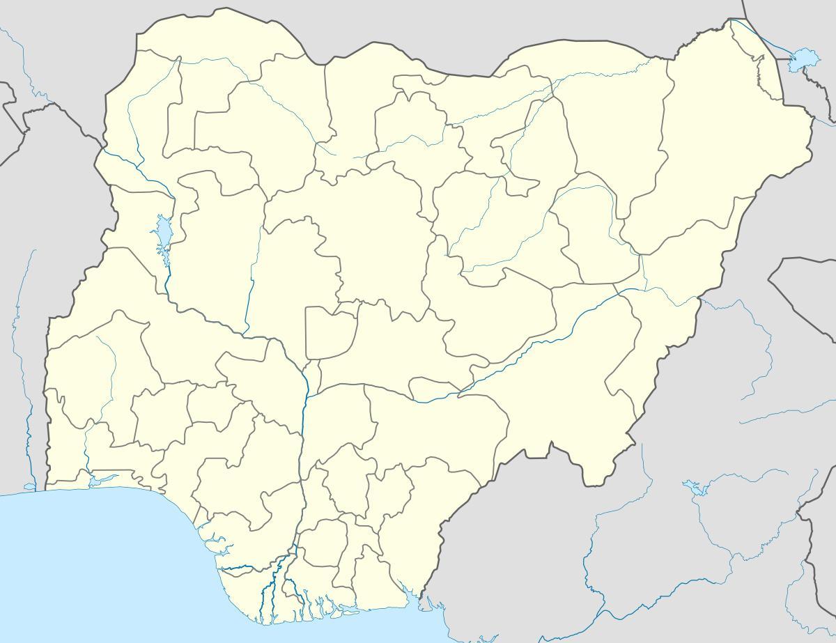
Desertification is a significant environmental issue affecting many regions across the globe, and Nigeria is no exception. The map of desertification in Nigeria illustrates the areas most vulnerable to land degradation, particularly in the northern regions. This map serves as a tool for understanding the extent of desertification, which is primarily driven by climate change, deforestation, and unsustainable agricultural practices. By analyzing this map, we can identify regions that are experiencing severe land degradation, leading to reduced agricultural productivity and threatening food security for millions of Nigerians.
The historical context of desertification in Nigeria dates back several decades, with significant impacts observed since the 1970s. The Sahelian region, which includes parts of northern Nigeria, has seen a gradual encroachment of desert conditions due to prolonged droughts and mismanagement of land resources. The Nigerian government and various organizations have initiated several programs aimed at combating desertification, but effective strategies are essential to restore affected areas and protect the environment. The desertification map not only highlights the current state of land degradation but also serves as a benchmark for measuring the effectiveness of these interventions over time.
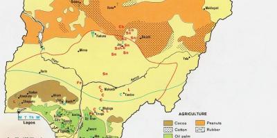
Geographically, Nigeria is diverse, encompassing multiple ecological zones, including rainforests, savannas, and arid regions. The northern part of the country, characterized by a semi-arid climate, is particularly vulnerable to desertification. The map indicates key locations, such as the Borno and Yobe States, which are struggling with the loss of vegetation cover and soil fertility. Understanding these geographic implications allows policymakers and environmentalists to devise targeted actions aimed at mitigating the effects of desertification. The impact of these environmental changes extends beyond the landscape; they also affect the livelihoods of millions who depend on agriculture, livestock, and natural resources.
The practical uses of the desertification map in Nigeria are manifold. For researchers and policymakers, this map serves as an essential tool for planning and implementing conservation efforts. It can guide reforestation initiatives, sustainable farming practices, and community awareness programs. Furthermore, it can assist in monitoring the progress of restoration activities over time, highlighting areas that require immediate attention or resources. Educators can also use this map for teaching purposes, raising awareness about the challenges of desertification among students and communities.
In conclusion, the map of desertification in Nigeria is a crucial resource for understanding environmental degradation in the country. It illustrates the challenges faced by various regions and serves as a guide for concerted efforts to combat land degradation. By prioritizing areas identified on this map, Nigeria can work towards sustainable land management practices that will benefit its environment and its people for generations to come.
Understanding the desertification map of Nigeria is vital for addressing the environmental challenges facing the nation. By exploring this map, you can gain insight into the pressing need for sustainable practices to protect Nigeria's landscapes.
-
Nigeria is home to the largest population in Africa, with over 200 million people, many of whom rely on agriculture for their livelihoods.
-
The northern regions of Nigeria, particularly Borno and Yobe States, are the most severely affected by desertification, with significant reductions in arable land over the years.
-
Desertification in Nigeria is largely driven by climate change, deforestation, and unsustainable agricultural practices, leading to soil degradation and loss of vegetation.
-
The Niger River Basin, one of the largest river systems in Nigeria, is increasingly threatened by desertification, affecting both the local ecosystem and communities relying on fishing.
-
Nigeria's economy is heavily dependent on agriculture, which contributes about 24% to its GDP, highlighting the critical need to combat desertification for food security.
-
The Great Green Wall initiative aims to combat desertification in Nigeria by restoring 100 million hectares of land across the Sahel region, including parts of Nigeria.
-
The effects of desertification include reduced agricultural productivity, leading to food insecurity and increased poverty levels in affected communities.
-
According to the United Nations, Nigeria loses approximately 350,000 hectares of land to desertification each year, which severely impacts the environment and economy.
-
The desertification map can help visualize the progression of land degradation over time, enabling more effective policy-making and resource allocation.
-
Various NGOs and government agencies are working together to implement sustainable land management practices to reverse the effects of desertification in Nigeria.